The following photographs have been taken in July, 2018. The gallery at hand has photographs from five different flights and cover the districts Töölö, Kallio, Sörnäinen, Kruununhaka and Jätkäsaari in particular, other districts are seen too but not the focus this set.
Please play around with your browser’s size to get the best view of the photographs.
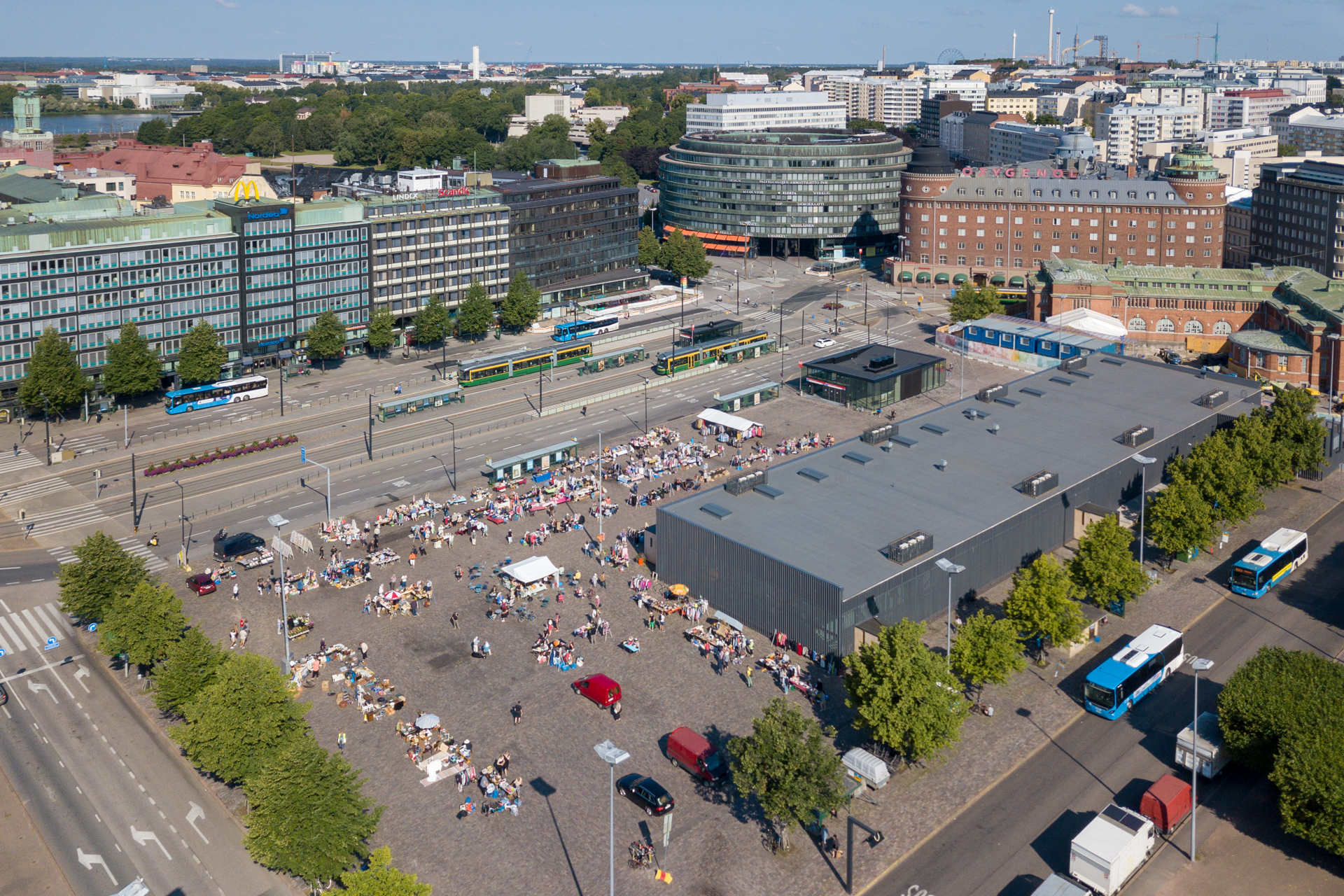
Below the first four photos are showing the area of and around Hakaniemi market, north of the city centre.
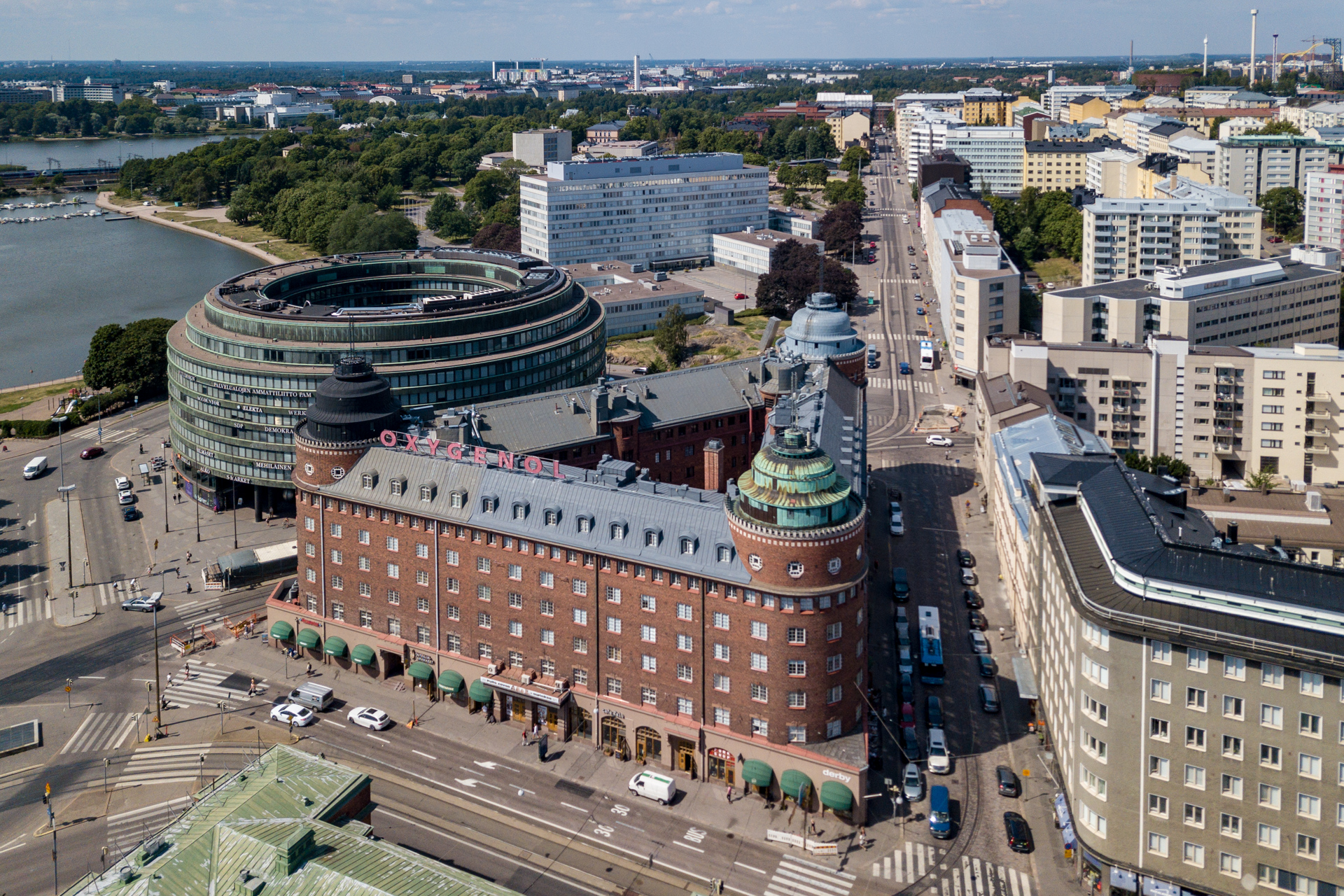
Hakaniemi market square and the new temporary Hakaniemi Market Hall, the flat roofed grey building on the right hand side. In the centre you see Ympyrätalo and in the upper right hand corner the skyline of the amusement park Linnanmäki.
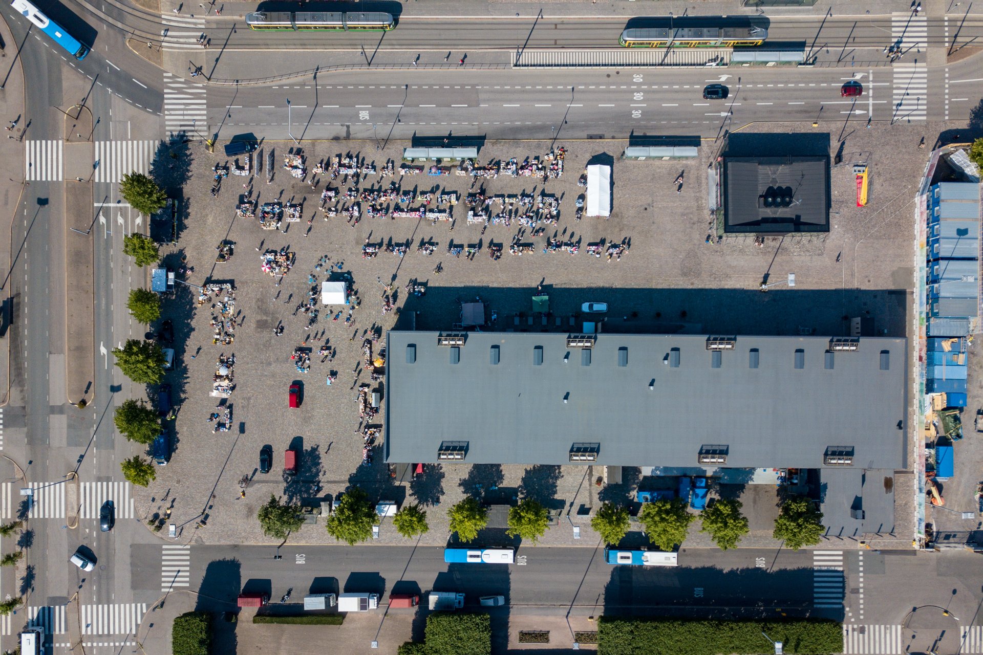
The market square from straight above.
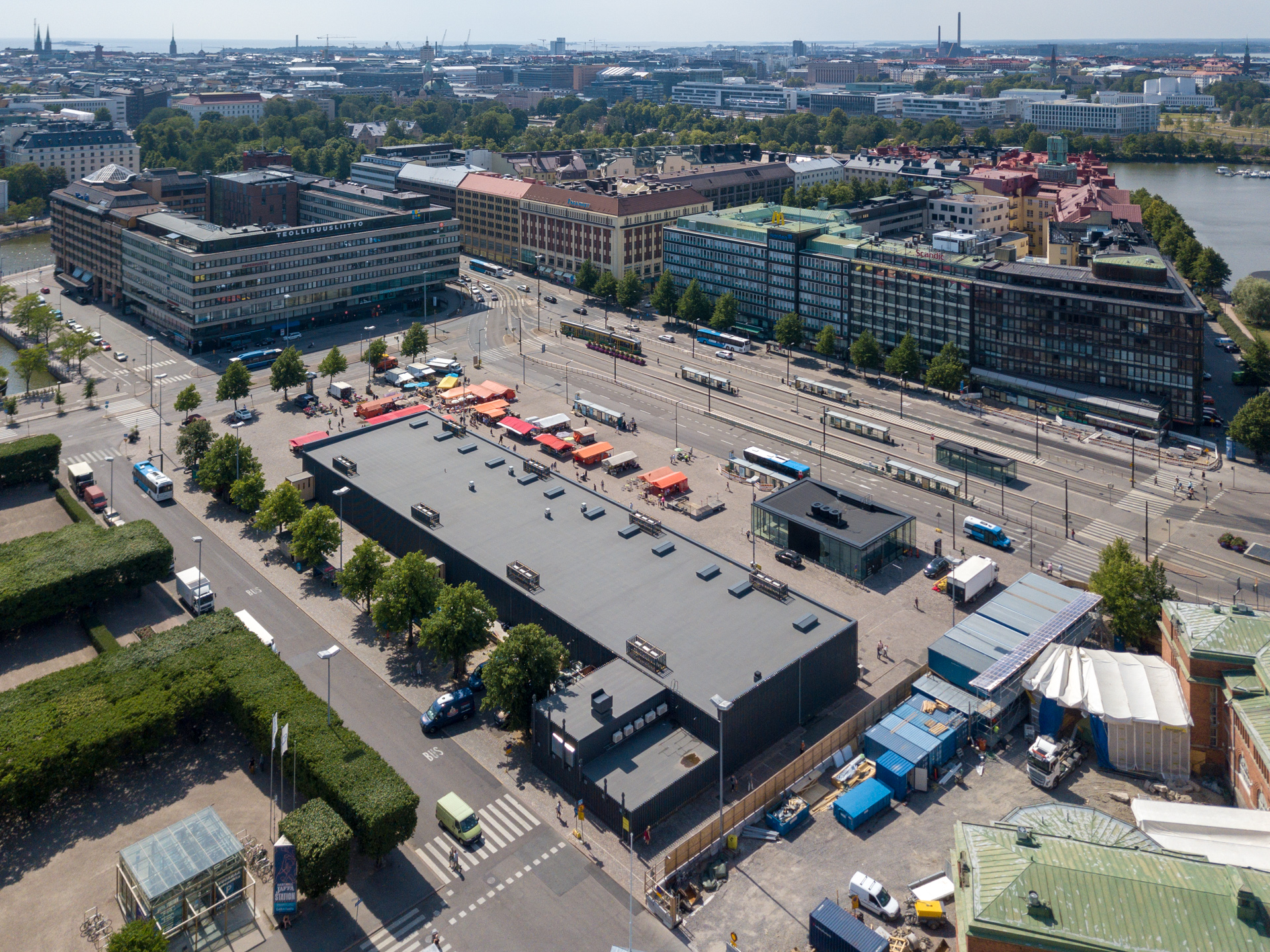
The same square now with view over the city centre too.
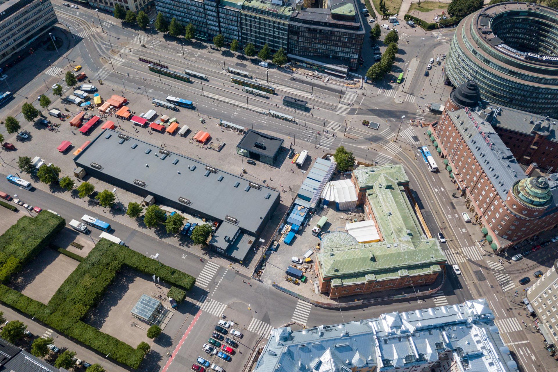
Old (green roofed) and temporary Market Hall side by side.
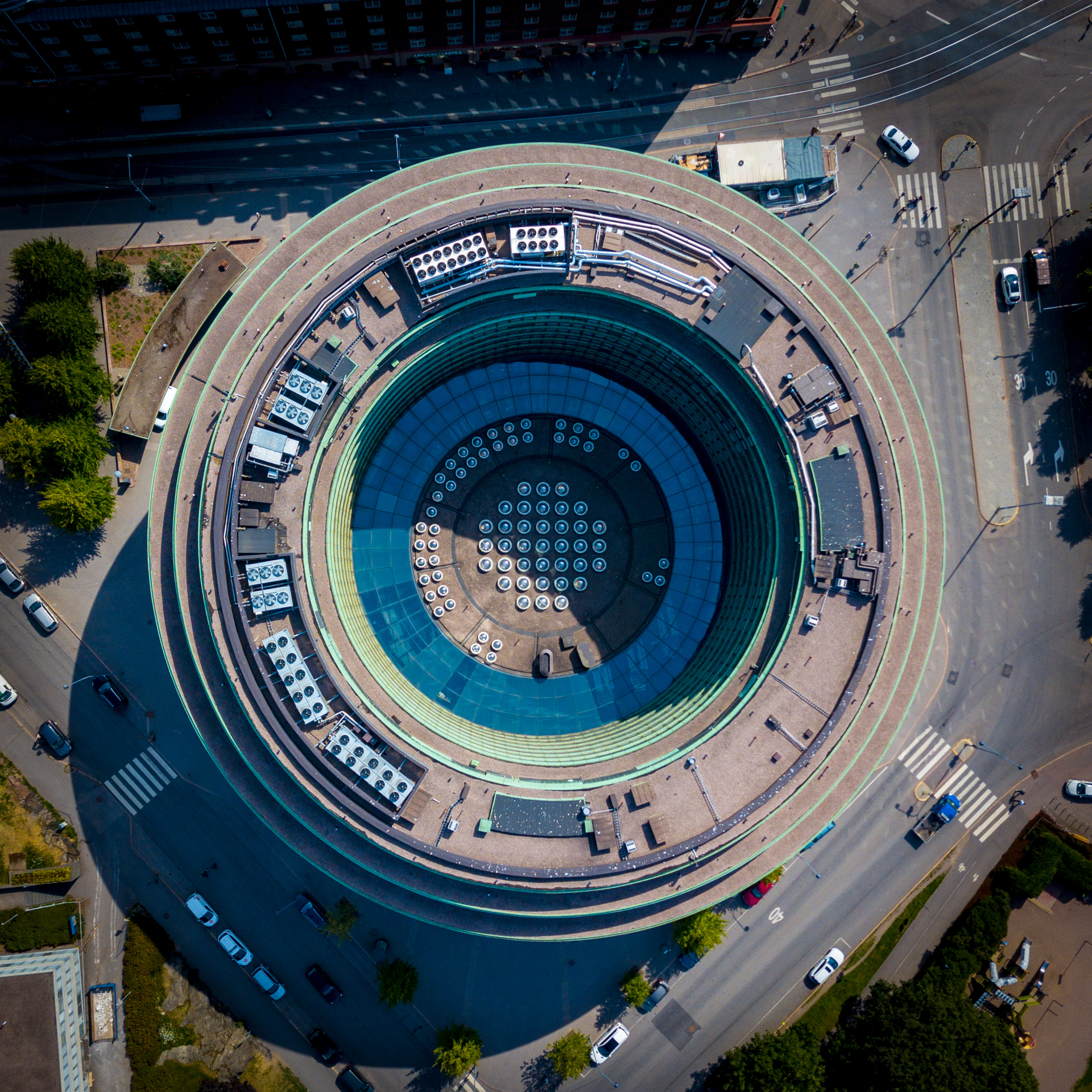
Ympyrätalo from straight above.
Ympyrätalo with view towards east. In the background you can distinguish one of RED’s skyscrapers being built (yellow “crown”).
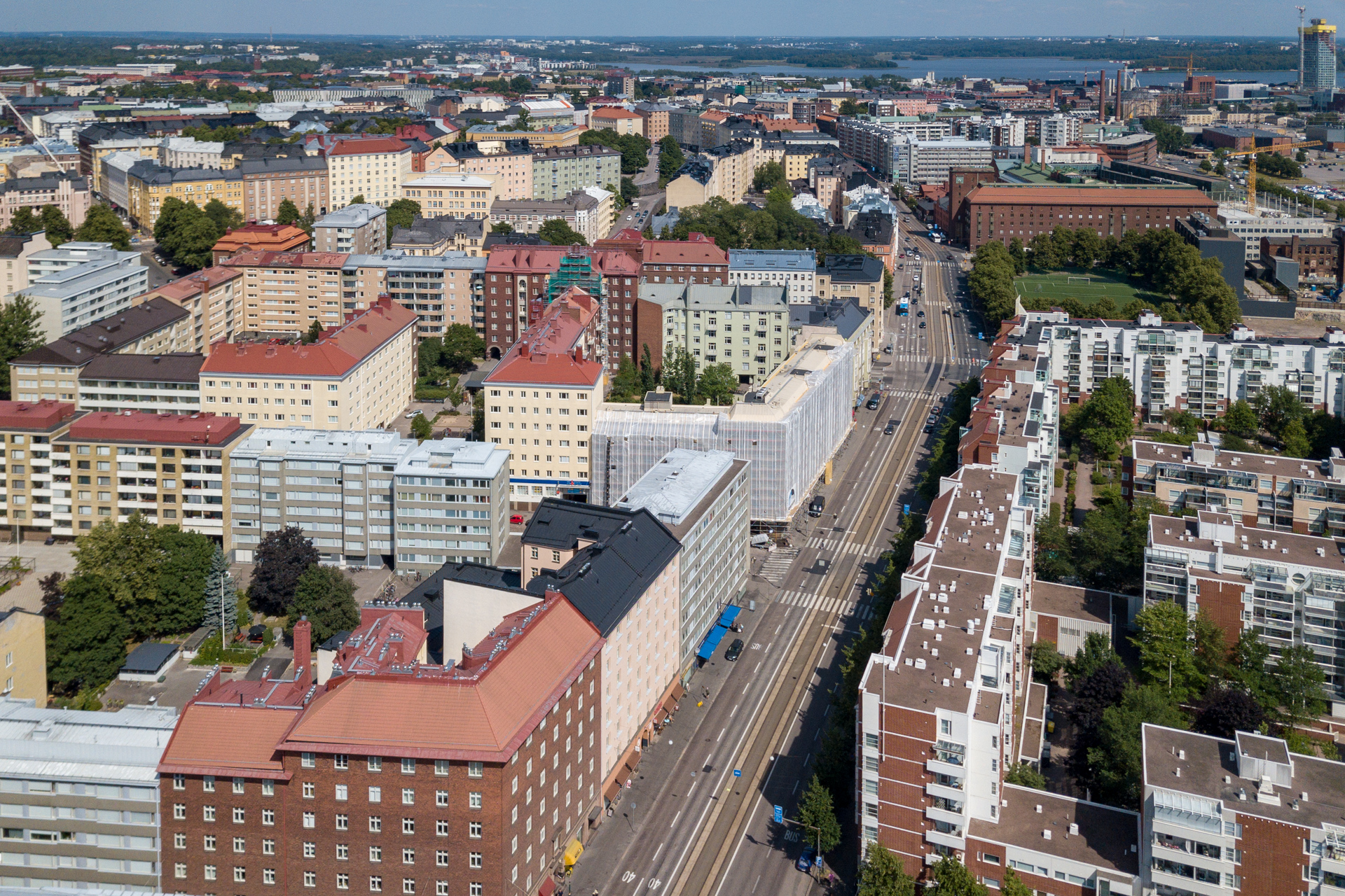
The triangular shaped Arena house and the street called Toinen linja leading deeper into Kallio.
Hämeentie, a long street dividing the district Kallio from Sörnäinen.
Atop of Kallio sits its landmark the church, Kallio church. Left of you can see some Linnanmäki rides.
The Finnish national agency for education building (opetushallitus, OPH), Sörnäinen.
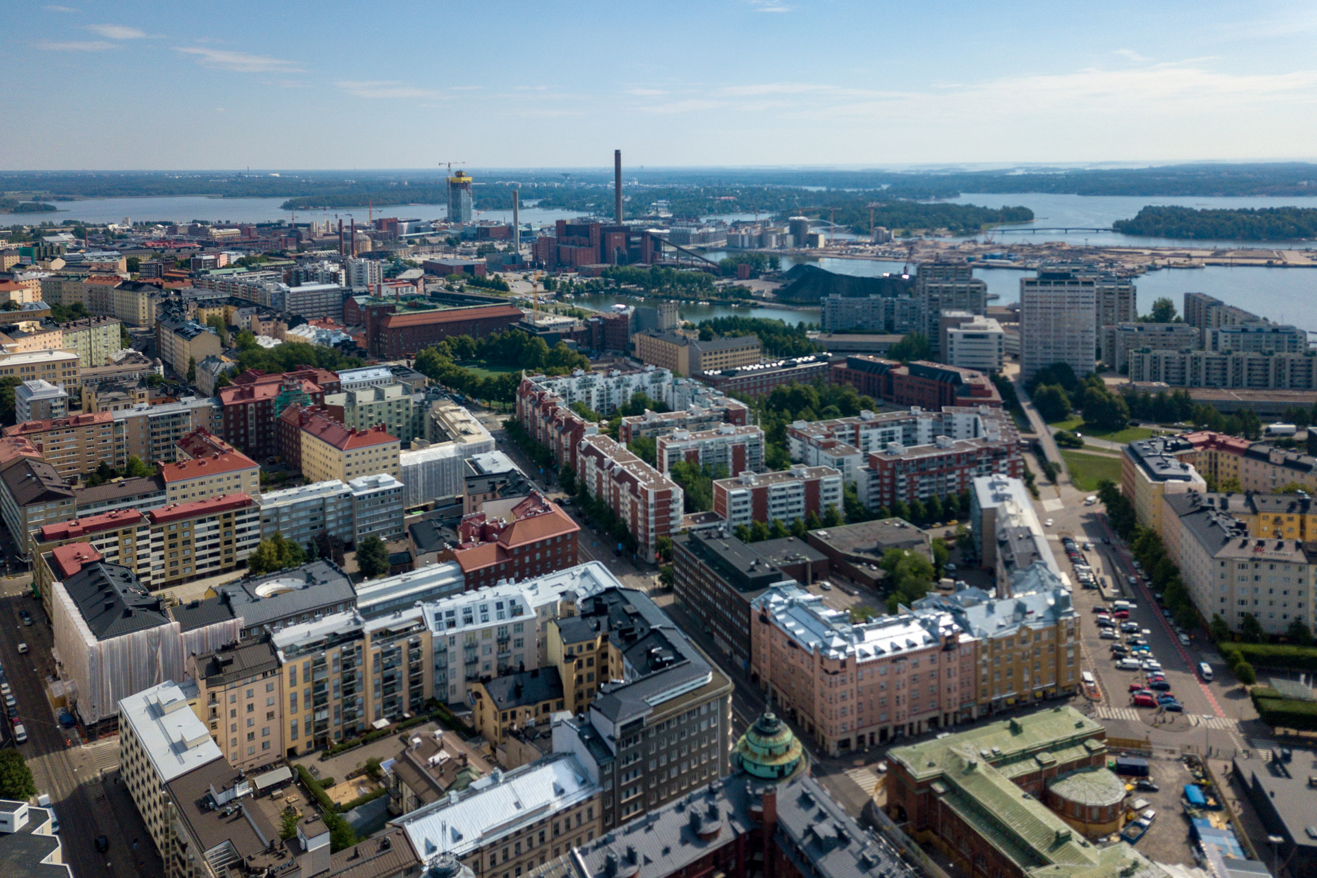
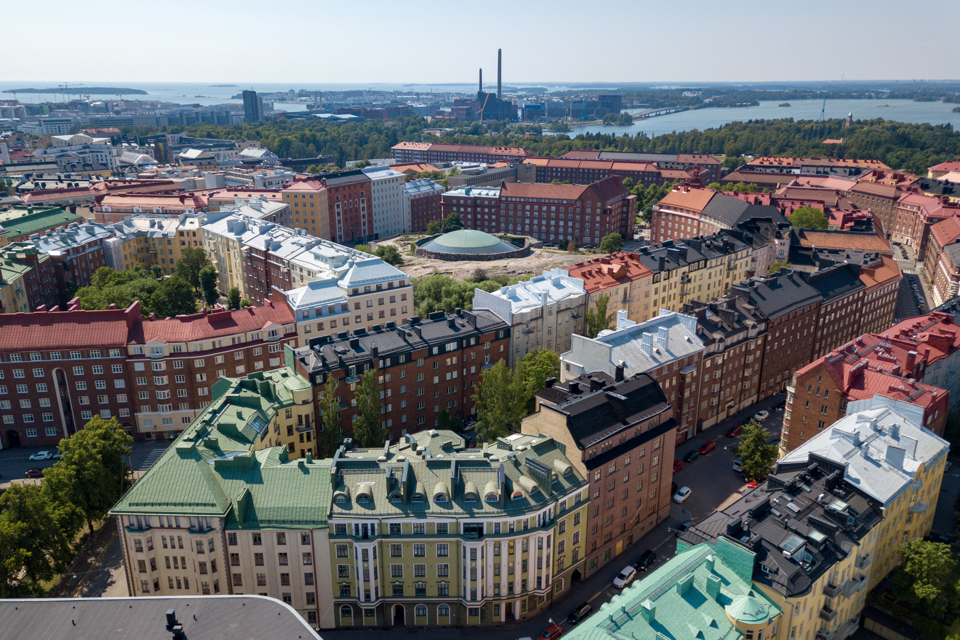
Somewhat the same view as previously, but with a slightly larger take. Now you can see the neighbourhood of Merihaka (the concrete highrises), further back Kalasatama where the new centre called RED is being built, and in the horizon you may be able to see the cranes of the Port of Helsinki, Vuosaari.
Unfortunately I have not been able to find out the name of this dock. Let me know if you do know! In any case this is where the vesibussi (water bus) to Vuosaari and the ferry to Vallisaari and Suomenlinna take off. It is a pleasant 90 minute cruise along the shores of Helsinki archipelago to get to Vuosaari.
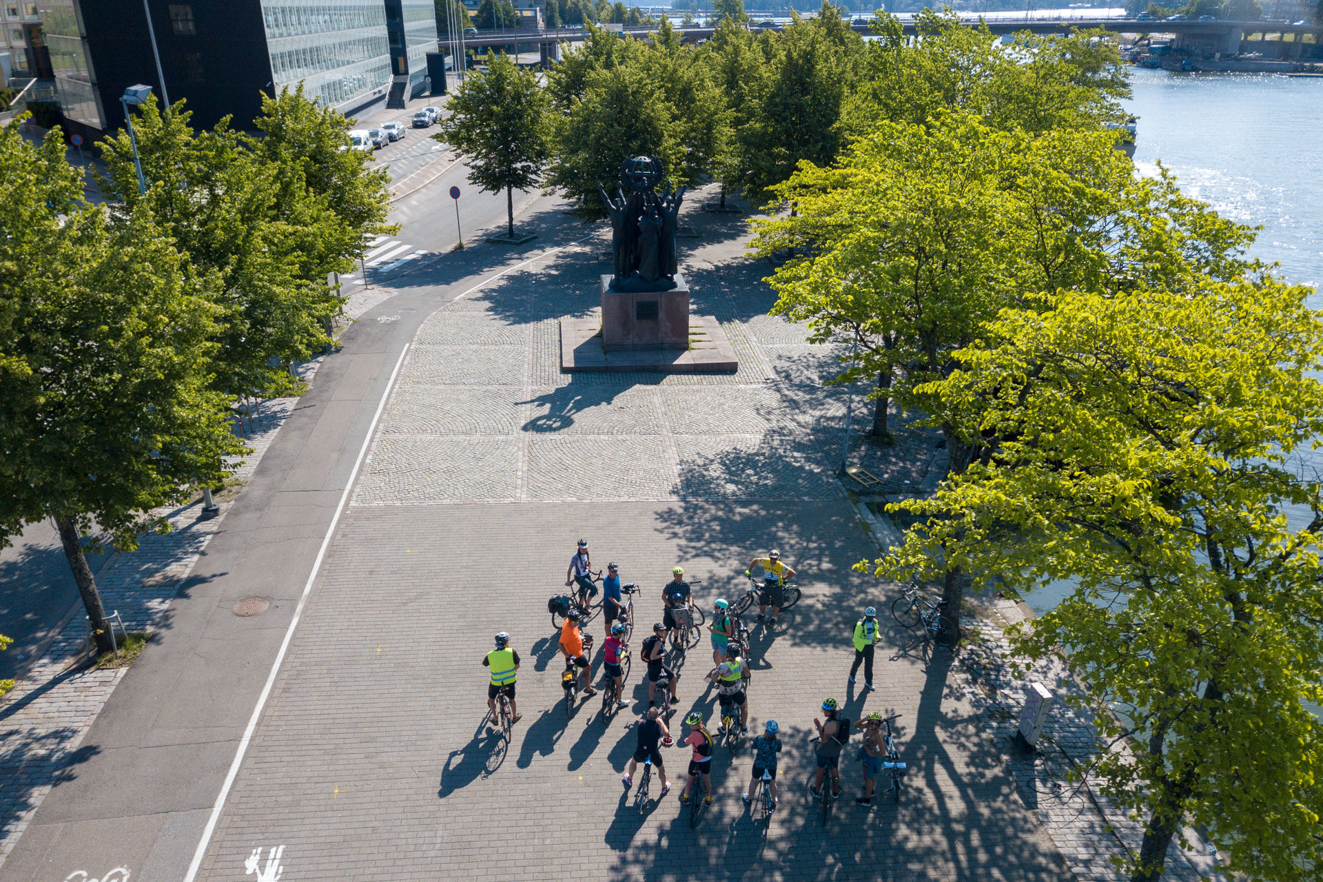
Right next to the dock is one of the most hated and loved statues of Helsinki, the World peace statue.
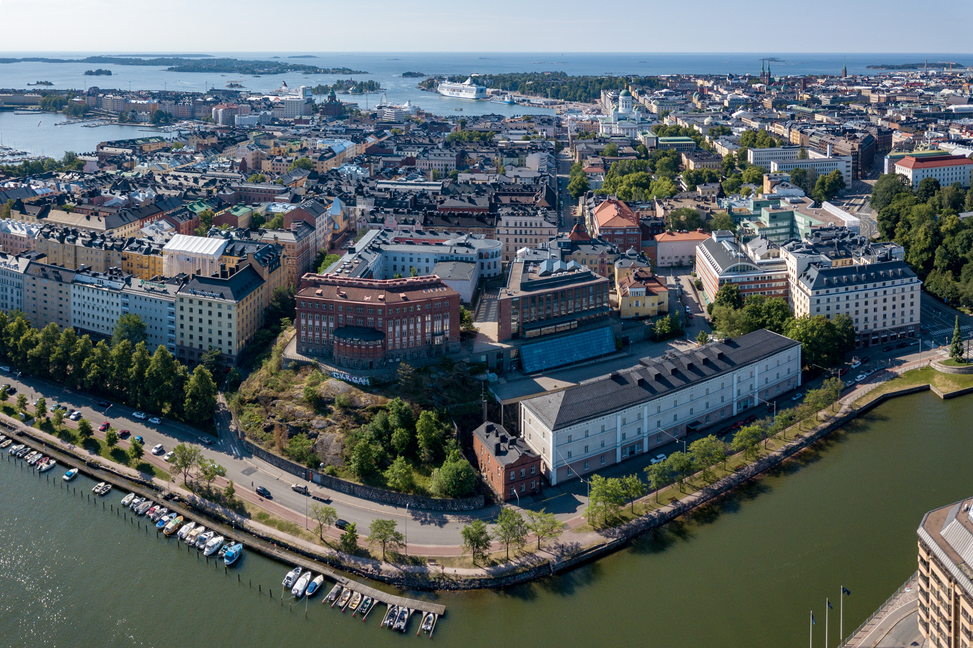
Kruununhaka, a district south of Sörnäinen and Kallio, just on the other side of the connecting bridges. In the front, at the edge is Siltavuorenpenger. The red brick buildings house the faculty of Educational Sciences belonging to the University of Helsinki. In the centre back is the white cathedral and on the left hand side you can see Uspenski cathedral guarding the entrance to Katajanokka. On the right hand side is Johanneksen kirkko (St. John’s church), easy to spot due to its two towers.
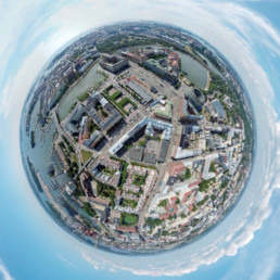
And to sum up this area of the city before moving on a #smallworld photo from above Hakaniemi.
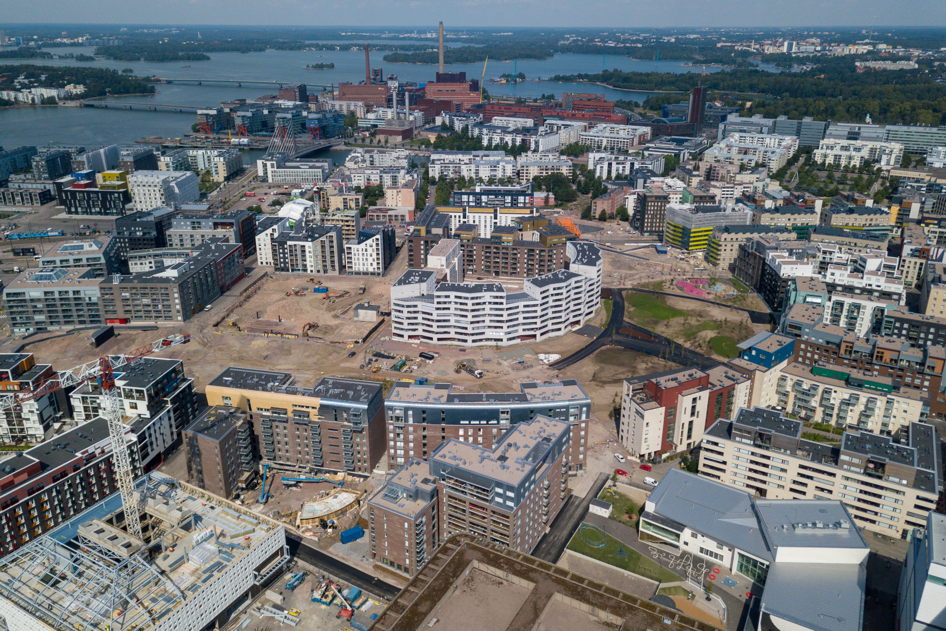
Over on Jätkäsaari district a whole now residential area is being built partially on one hand by rebuilding an old port and on the other hand by bringing in thousands and thousands of lorries with sand and earth.
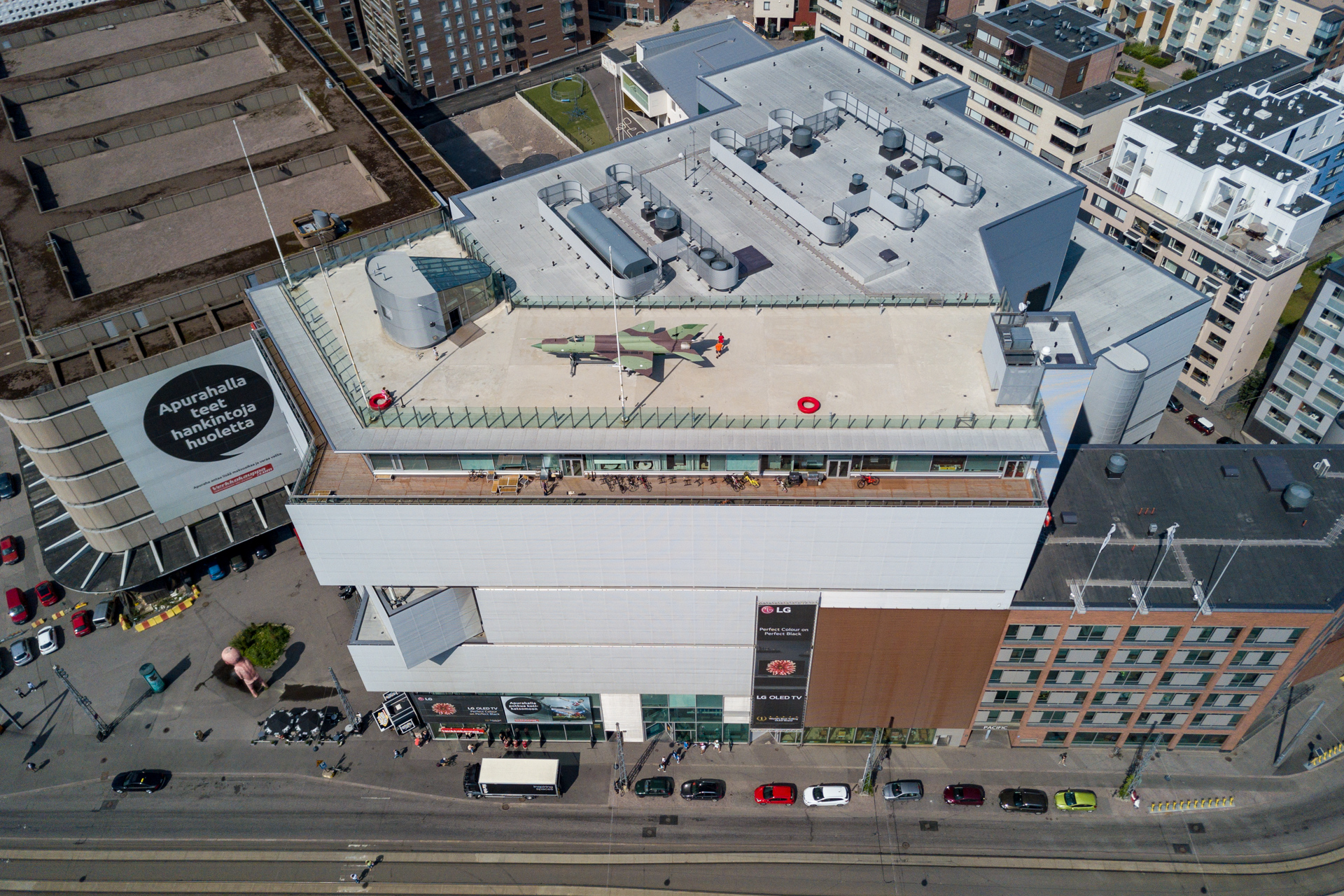
On this first photo you see one building that survived the tearing down of the old harbour, now housing one of Finland’s largest electronic online company’s retail store.
And yes, that is an actual MIG fighter.
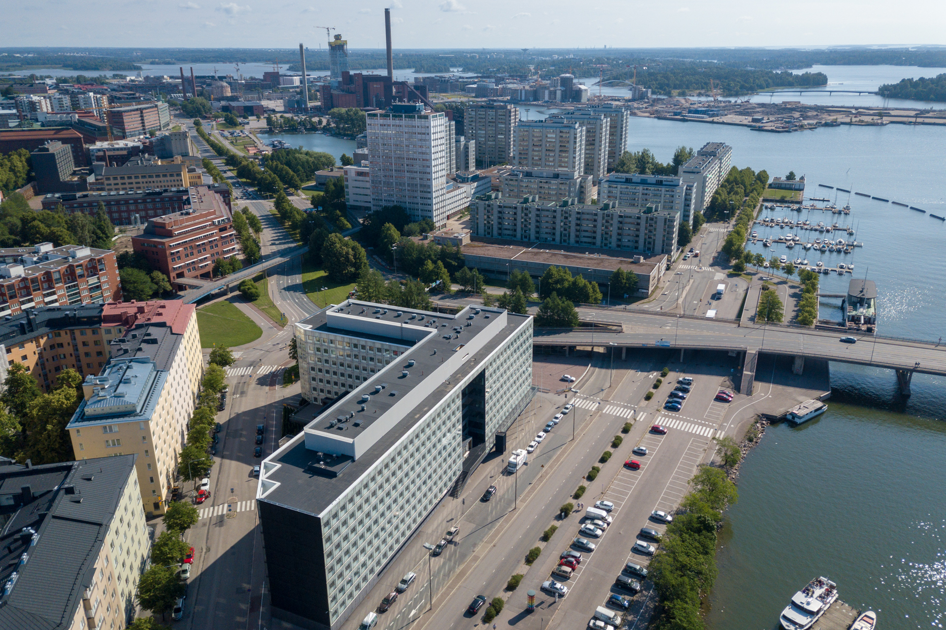
Here you can see how much building is going on. Almost all you see is rather newly built. In the back you see Ruoholahti and Salmisaari with its red brick power plant buildings.
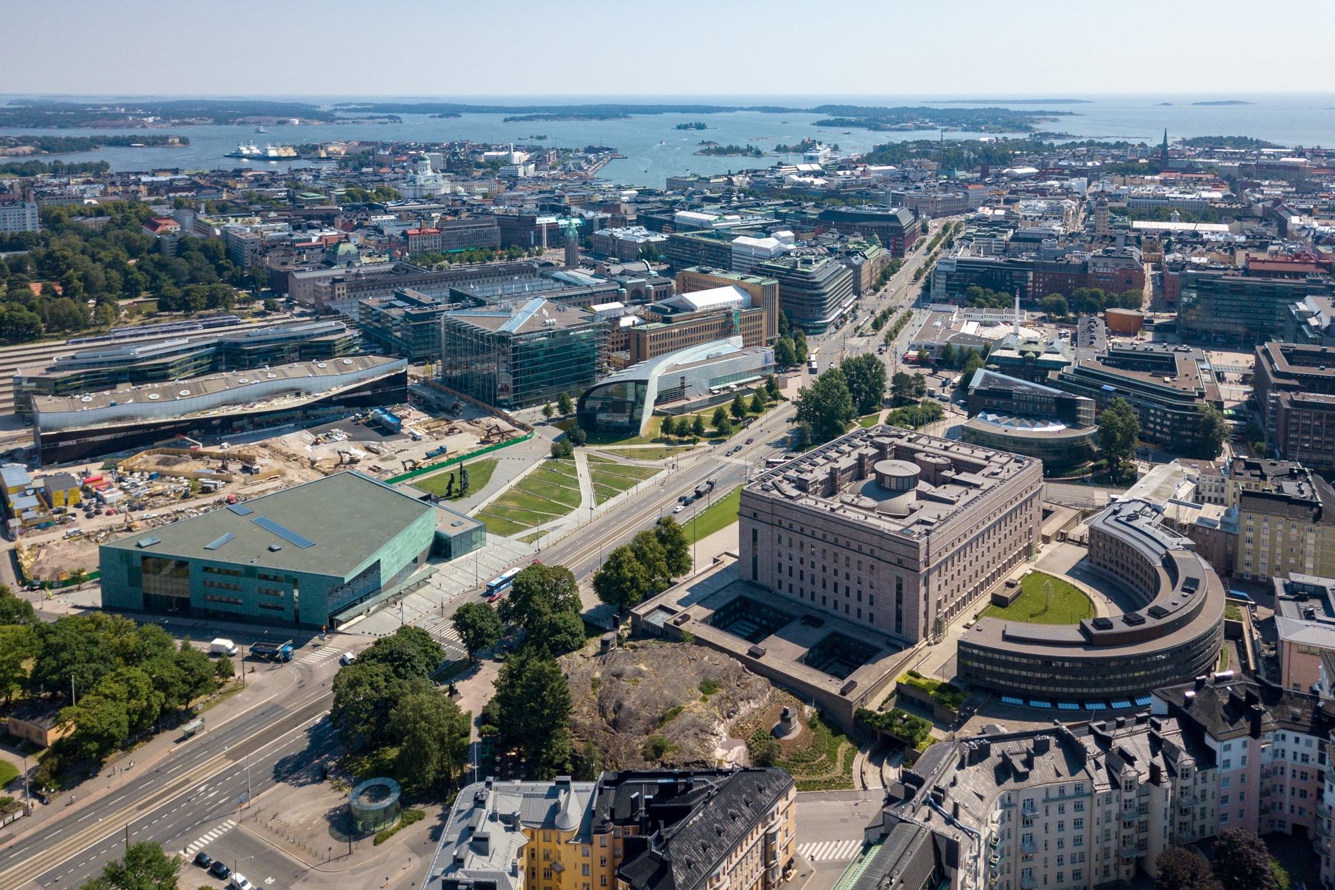
Then moving on to Töölö. In the first photograph below you can see the parliament building (front right), the Musiikkitalo in English Concert hall (front left), behind it under construction Oodi the new library, in the centre Kiasma and Sanomatalo. Partially hidden by Sanomatalo is the Main Railway station, the tower is visible. The street dividing the view diagonally is Mannerheimintie. In the back docked on Katajanokka are the ice breakers.
Temppeliaukion kirkko, right in the centre is a church built into the bedrock. Behind it is the power plant on Salmisaari.
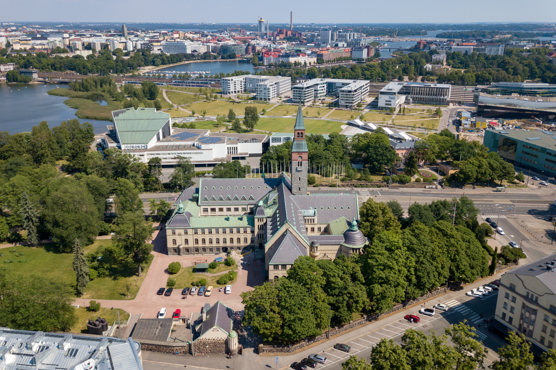
In the front is the National Museum of Finland, behind it Finlandia house which is part of Töölönlahti the open space stretching out from Musiikkitalo all the way to the opera (not visible).
In the background the dominant RED in Kalasatama, next to it the power plant Suvilahti.
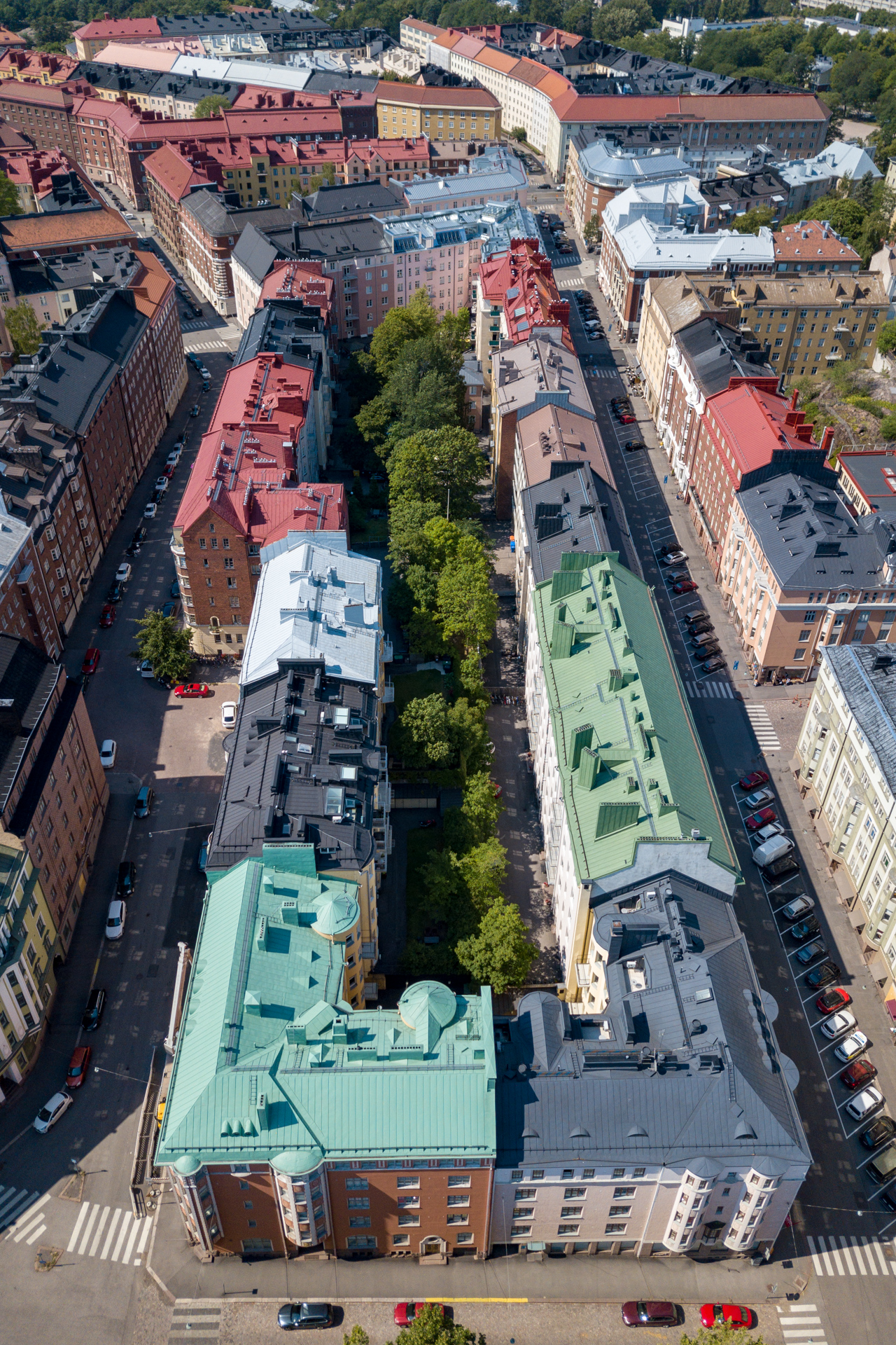
A park within a yard, Töölö. The street Museokatu is on the right side.
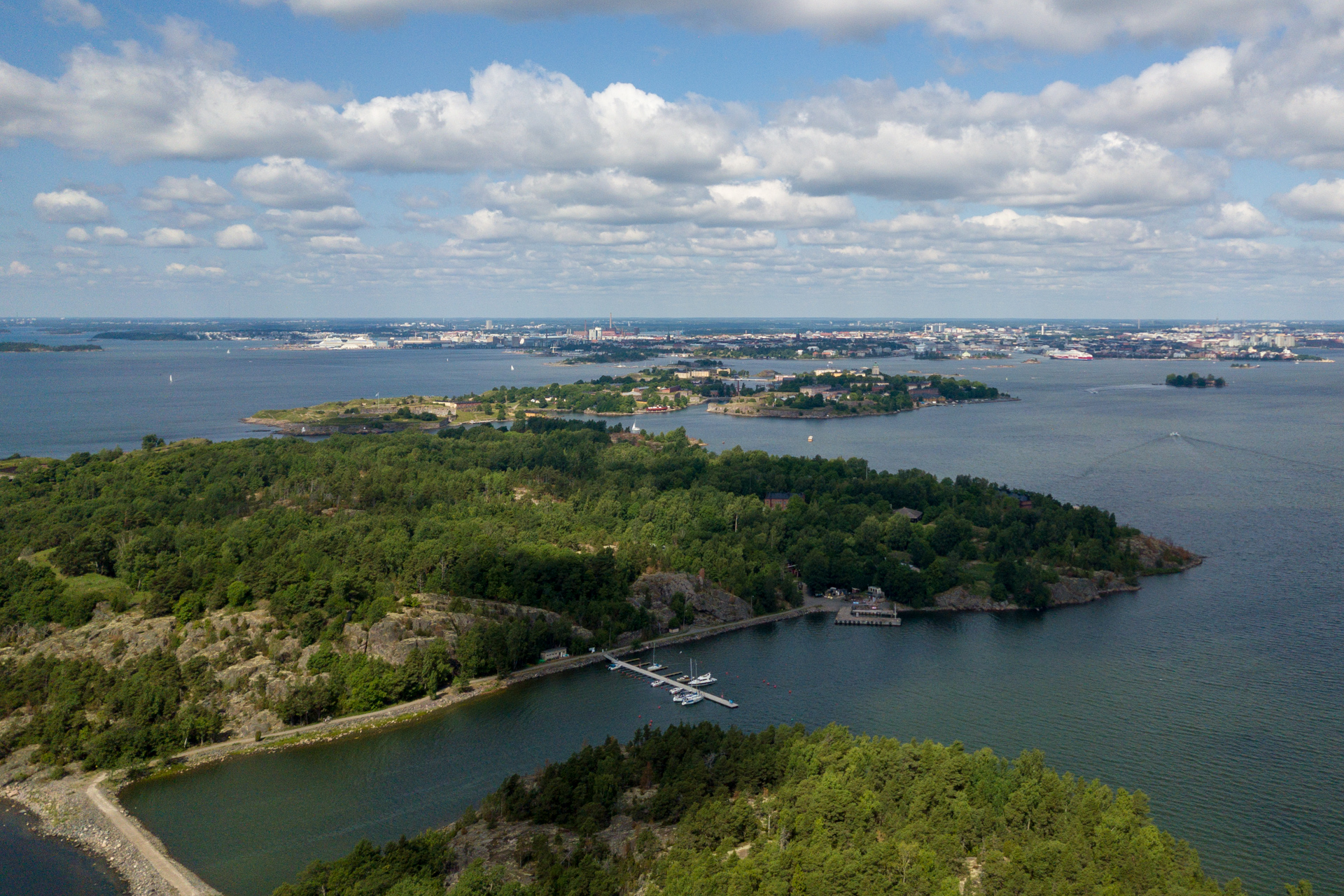
And finally a photograph from an island. The islands Vallisaari and Kuninkaansaari were formerly occupied by the armed forces, but are now open to the public. In the back you can see Suomenlinna and Helsinki city.