May 2018 had seen an unprecedented amount of sunny and warm days in Helsinki. But having had my drone in for repair for 8 weeks I missed out those sunny days -capturing wise that is- and only now for a week or so been able to capture aerial footage again.
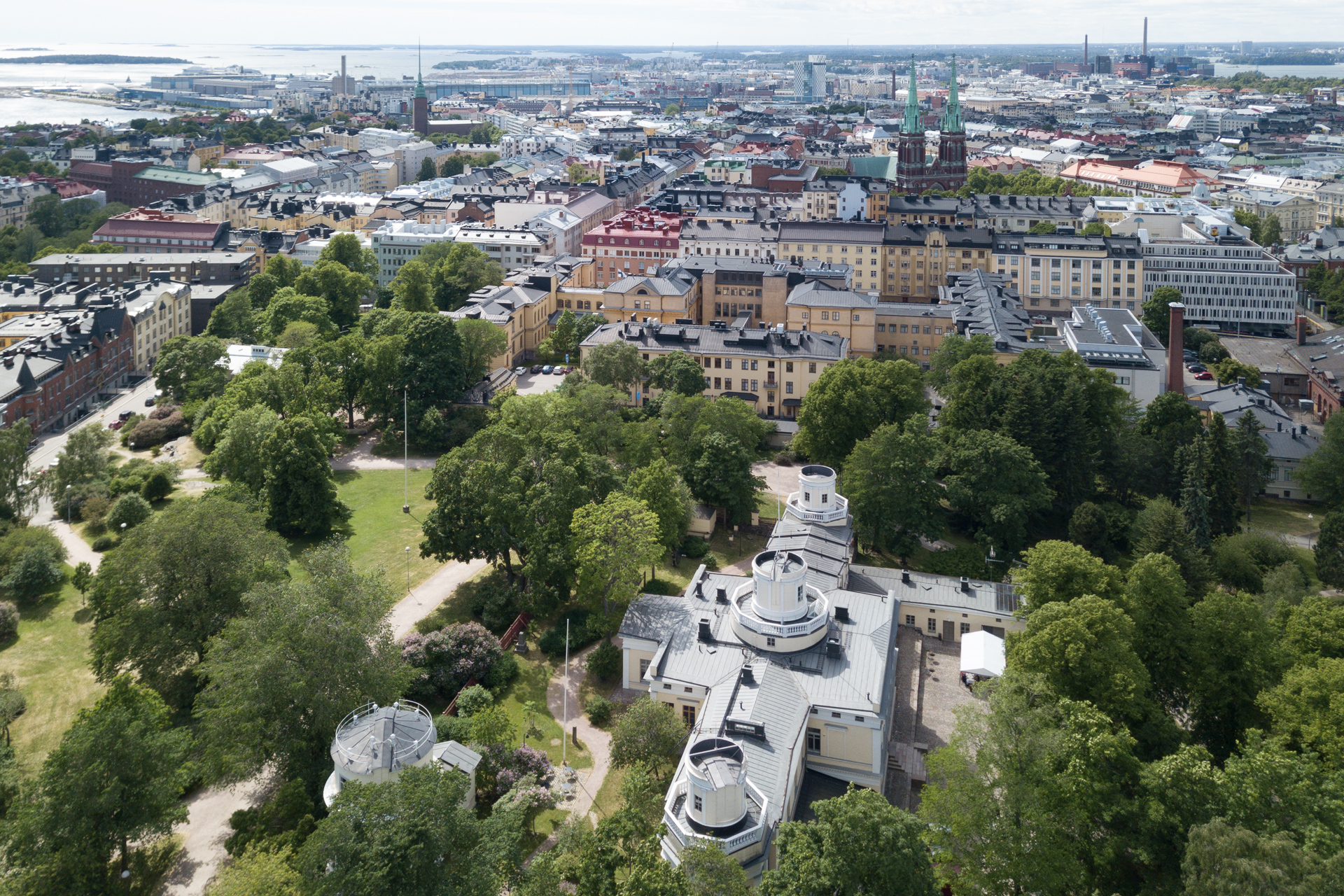
The following photographs were taken on Friday June 8, 2018 on Tähtitorninvuori (vuori meaning mountain). The area is in fact a park on a hill sitting in the heart of the city with the university’s former observatory, now turned museum.
Please play around with your browser’s size to get the best view of the photographs.
Below the first two photos are showing the observatory and parts of Punavuori and Eira, facing west.
A slightly larger view.
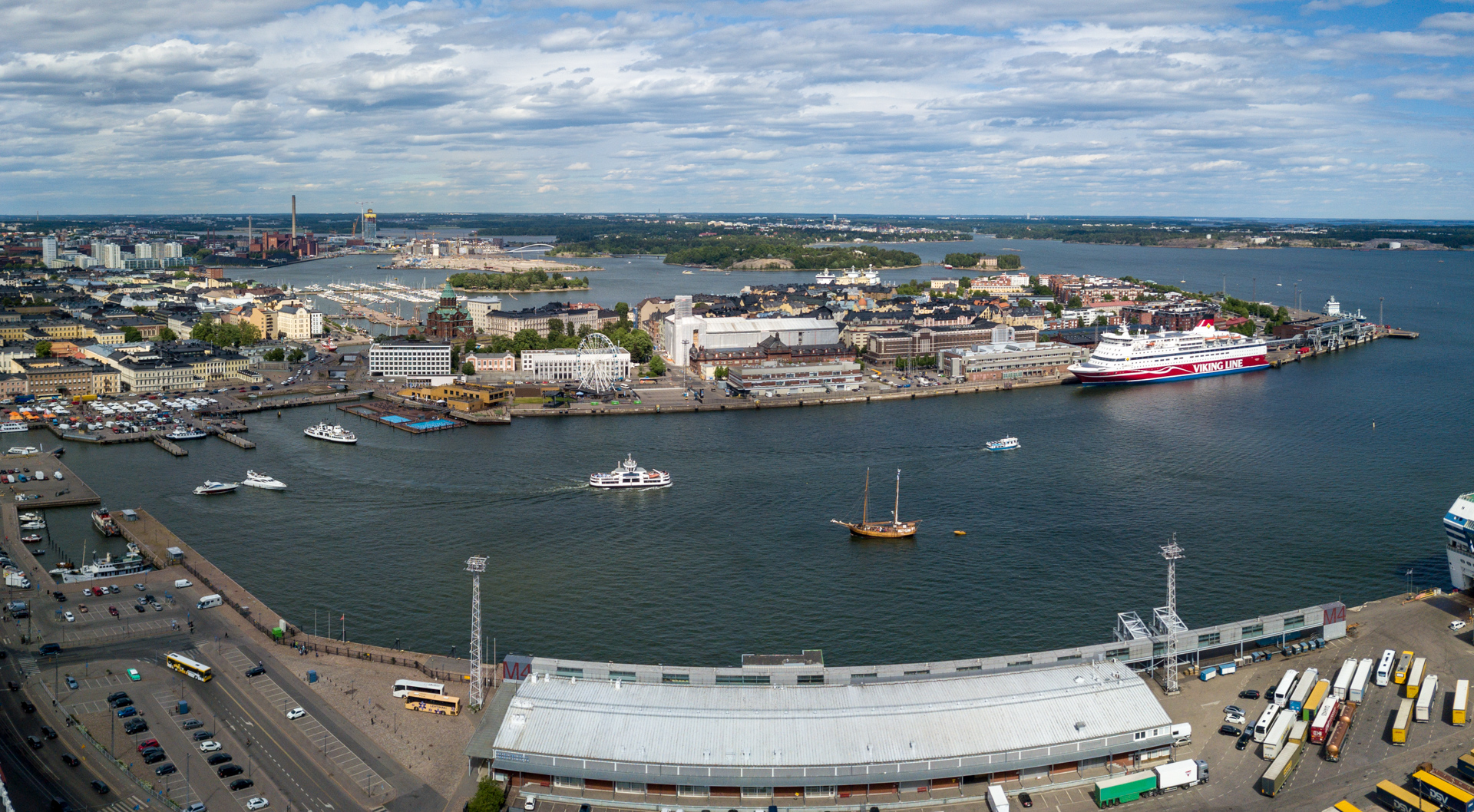
In the front is Olympia terminaali and on the right hand side parts of Katajanokka and on the opposite side the islands Valkosaari and Luotosaari. In the back you have the former oil harbour of Laajasalo now heavily rebuilt into a residential area with a connecting bridge to the city centre.
Katajanokka.
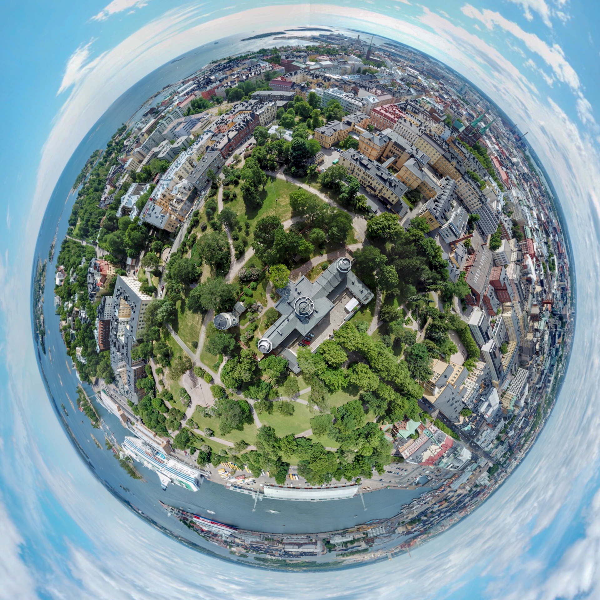
A #smallworld photograph, shot above the observatory.
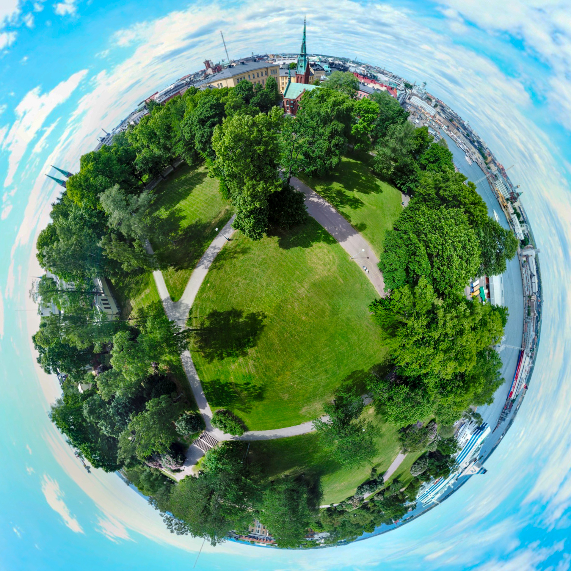
Another #smallworld photograph from the Tähtitorninvuoren park.
View towards east. In the foreground Pitkäsilta connecting Hakaniemi and upper downtown. In the back the bridge connecting Merihaka with Krununhaka.