Trail running in the Alps
It finally happened
In this post I have written how I have gotten to this point. Now this very trip is done and over with and part of my past – a much richer past, one with yet new experiences, full of self-reflection. I have gone to places I had not been before, ran on three consecutive days impressive distances something I could not have imagined doing just a year ago, forced myself to edges and ridges in heights my guts turned upside-down just to realise I had to retreat crawling on all fours. Lots of steps have been taken on these three days of trailrunning, a total of 108’296 steps to be exact while some 21’000 kcals were burnt. You will find more stats later on. But before I spill the beans let me take you through this in an orderly Swiss fashion, first things first.
This blog post has gotten somewhat long with a lot of photographs, video clips and yes, text too. Because of the length there are three links to each day below. I hope in this blog post you will find useful information if you plan on doing something similar and if not just enjoy the photographs. After each day you will find some photographs from that specific day. For maximum enjoyment I recommend you view the photographs and video in full screen mode.
Day 1 – Day 2 – Day 3
Getting there
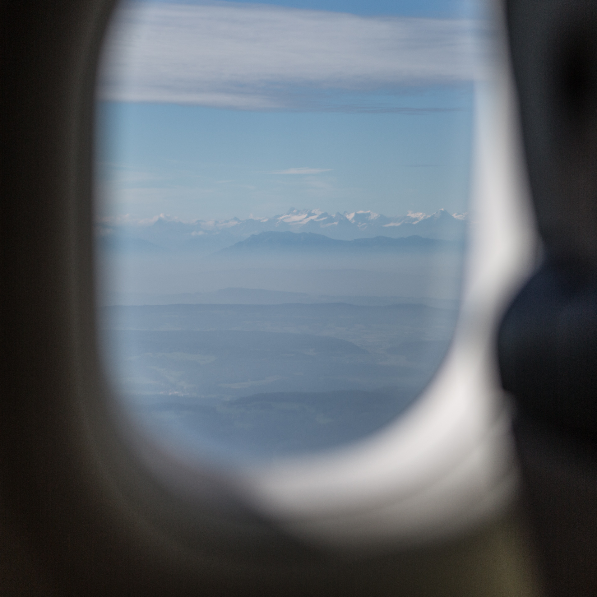
Friday morning was an early getting up as we had a plane to catch, a direct flight from Helsinki to Zurich. In Zurich we were picked up by Beni’s father and had lunch at their place. It was a hot day, thunderstorms and heavy winds were forecast for the evening. After lunch we then took the train and in three and a half hours got to Mürren via Bern, Interlaken West, Interlaken Ost and Lauterbrunnen. In Lauterbrunnen we hopped onto the cable car and for the final stretch switched over to a mini train from Grütschalp to Mürren. It was still not raining but hot, humid and cloudy.
I got a quick tour of Mürren after which we went to the only grocery shop (Coop) in town and bought food for upcoming dinners and breakfasts. Once back at the chalet both the clouds and winds had grown heavier, first drops were falling and not before too long we heard the thunders roar and eventually it came pouring down. After dinner we checked our gear and pre-packed the rucksacks.
We checked the weather forecast for the next day and due to the bad conditions predicted for the next day we made a call and changed our planned itinerary. Originally we had intended to run from Harder Kulm to Brienz on the Hardergrat, but due to the forecast we figured it wasn’t safe to run on the ridge in rain and on muddy underground. So we switched day 1 with day 2, day 3 remained the same. This meant we had to run the routes in reverse direction as we had a hotel reservation in Brienz for the next night. Our new itinerary thus was:
Day 1 Wilderswil -> Brienz
Day 2 Brienz -> Harder Kulm
Packing list & Expenses
Below you will find my packing list, trip log consisting of travel days, running days, tips and a list of expenses. Mind you Switzerland IS an expensive country (and would deserve a blog post on its own), public transportation for one. SBB’s as good and reliable as their services may be, travelling around in trains will quickly grow into impressive sums. Cablecar fares too will surprise you. But if you are travelling say for more than four days you should consider getting the half-fare travel card, it really is worth it.
Packing list
- running shoes
- running socks
- running pants
- running top long and short sleeved
- running hat, beanie + buff scarf
- calf sleeves + arm sleeves
- glasses
- weather proof jacket / pants
- casual clothing
- gels
- bars
- iso/hypotonic solution
- salt
- running rucksack
- heart rate monitor + chest strap
- soft flask
- water bladder
- first aid kit
- sun screen
- maps
- telephone
- chargers
- cash
- toilet articles
- action camera
Trip log and expenses
In the following five tabs you will find the trip logs and expenses I had on each of the five days.
Transportation
– Plane Helsinki to Zürich: 202.51€
From Stäfa to Mürren: 87.99€
– Train switching in Bern, Interlaken West, Interlaken Ost and Lauterunnen.
– Cable car to Grütsch
– Train to Mürren
Other expenses
– Grocery shopping in Mürren (Coop) 70 SFr.
Transportation
From Mürren to Wilderswil: 16.60 SFr.
– Train from Mürren to Grütschalp
– Cable car to Lauterbrunnen
– Train to Wilderswil
Other expenses
– Coop food shopping 18 SFr.
– Hotel Weisses Kreuz 159.50 SFr. incl. tourist tax (Kurtaxe)
– Dinner 36.5 SFr.

Transportation
– Funicular Brienzer Rothornbahn up, Brienz to Planalp 21.60 SFr.
(first ride of the day ½ the price, + a reduction of 20% if a guest of the Hotel Weisses Kreuz)
– Funicular Harder Kulm Bahn down, 16 SFr.
– Train Interlaken Ost to Lauterbrunnen 17.45€

Transportation
none
Other expenses
Grocery shopping 30 SFr.
Transportation
From Muerren to Zurich Airport: 94 SFr.
– Train to Grütschalp
– Cable car to Lauterbrunnen
– Train to Interlaken Ost
– Train to Spiez
– Train to Zürich Airport
Other expenses
– Coffee and a ton of croissants 15 SFr.

Day 1
Finally the day had arrived. After a not too bad night’s sleep we had a hearty breakfast, got our gear and ourselves ready, made our way to Mürren train station and took the first connection to Grytschalp. As it so happened on this very same day the Inferno half marathon was taking place and so we were not the only ones dressed in running gear taking the cable car down to Lauterbrunnen.
It was cloudy and wet.
Last night’s thunderstorm and heavy rains had left apparent signs as we would later see on our climb to Schynige Platte. But here and there during the train trip from Lauterbrunnen to Wilderswil we would see the sun peep. I had a final look into my backpack which was weighing somewhere nearly 5 kilos.
On August 19 at 8:52 a.m. I started my sports watch and so started this three day journey.
After two hours and 1400 vertical meters through mostly steep forest trails we were at the Schynige Platte (2076m) and as the name suggests (schynig roughly translates into shiny referring to this sunny spot) the sun was greeting us. We grabbed a bar and were soon again on our way towards the alpine hut at Männdlenen where we had sandwiches, a coffee and our soft flasks refilled. The water bladders we did not use on this leg as there were enough opportunities for refilling the flasks. This part was very pleasant and mostly runnable as opposed to the first bit which was not. I enjoyed it very much and on a fun factor scale form 1-100 I would rate it at 80. Below a compiled clip from some of those runnable parts.
After Männdlenen (2344m) it was going up again until reaching Faulhorn (2681m) the highest peak on day 1. The last portion of Faulhorn is very steep, so steep in fact that the sheer angle hurt my ankle – and for the first time I noticed how thin air affects breathing. It’s not painful it’s just a lot of work considering we had not taken the cablecar… thus being short of breathe did not exactly help. Unfortunately the top was cloud covered and so we were deprived of a magnificent view. On the north side however the clouds were just scarce enough for us to realise how high up we were because the drop was considerable. I got a first impression of what acrophobia (fear of heights) may feel like and would meet this special feeling the next day again much more intense, but let’s not jump ahead.
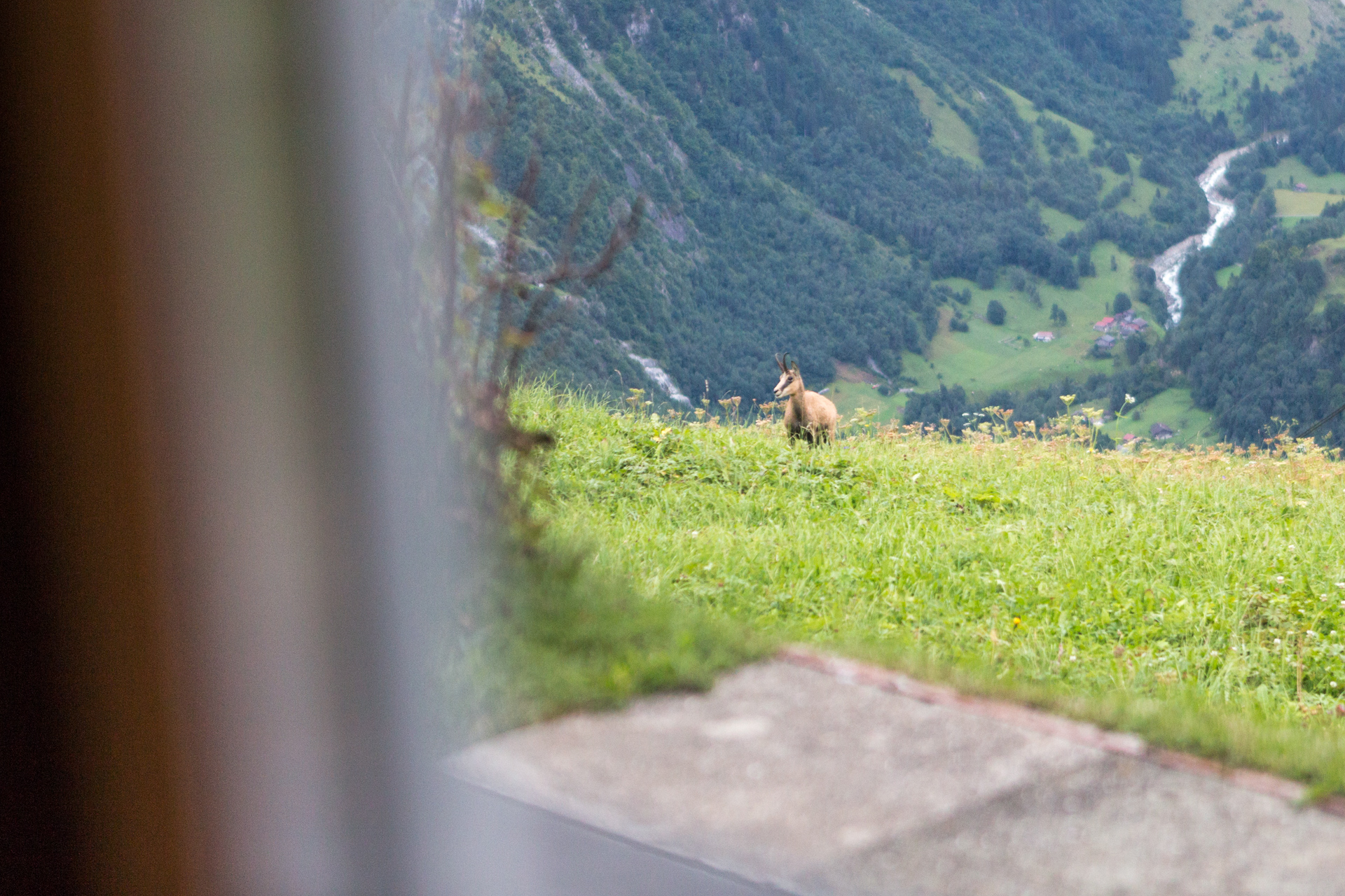
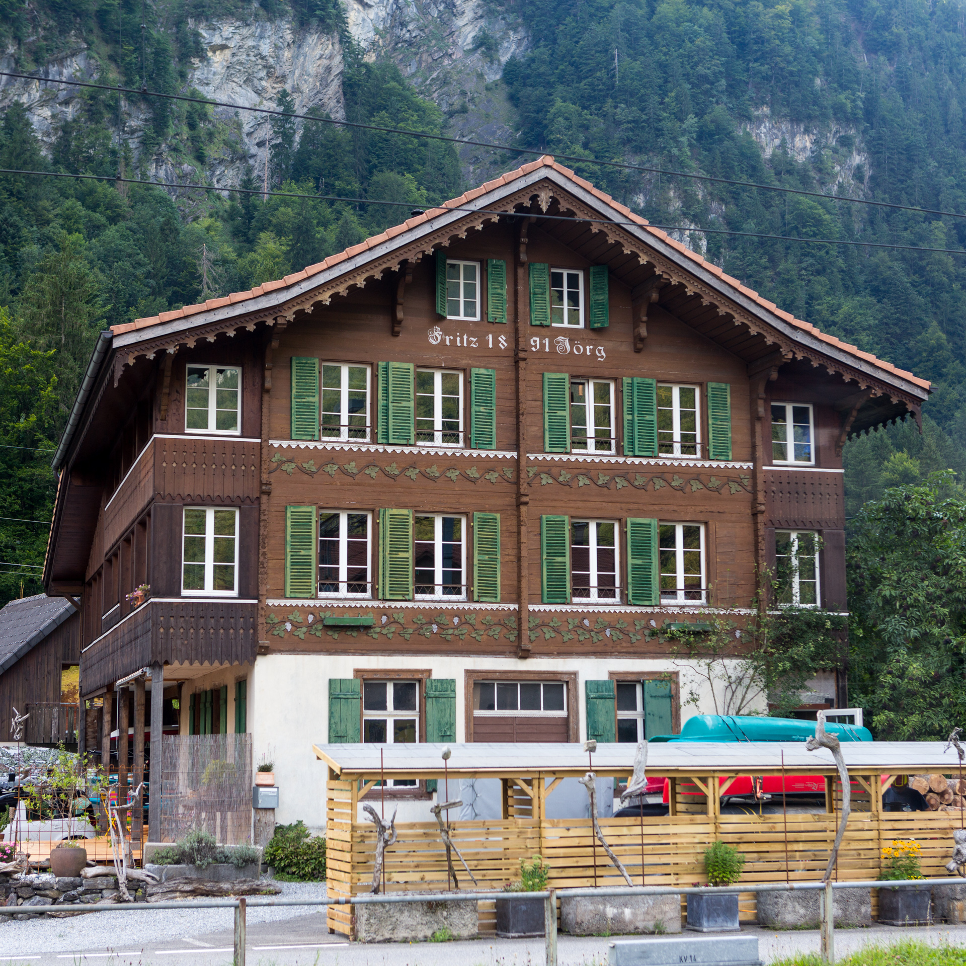
The descent down to Brienz was partially very technical and at some points we actually had to climb downwards and before crossing over to Giessbach valley we spotted a couple of chamois herds (rupicapra rupicapra) and one groundhog (marmota monax). The valley was very green and humid. There are several streams and brooks to cross and here my shoes got wet, thoroughly. On the sole of my left foot I could feel the shaping of a blister which constantly grew both in size and intensity of pain. From here on it was just downhill (my preferred running direction), some 1200 vertical meters left. My left knee was showing symptoms of fatigue and was sure enough aching after a while and the fun factor had dropped to a lousy 30. We passed Axalp and soon entered Brienz. Before going to the hotel we went straight to Coop – all sweaty and stinky – and bought some replenishment.
Then we finally checked in at hotel Weisses Kreuz, took a shower and with fresh clothes (yes, we were carrying extra fresh clothes tightly packed and sealed in our backpacks) on had dinner in the hotel restaurant. Back at the room we checked the weather forecast and prepared everything for the next day.
And so ended day 1 after 34.3 k, 8 h 6 min, 2460 vertical meters and burnt 7144 kcal. Here is the gpx file for day 1.
The day’s take away: left knee hurting, shoes turned out to be not adequate for this terrain (far too little grip). Left foot’s sole blistered due to moisture in shoe as it does ventilate badly.
The over all score for day 1:
I met a fear of mine I was not aware of - acrophobia.
Day 2
We had planned on taking the day’s first ride up to Planalp (1341 m) on the Brienzer Rothorn Bahn, a funicular. So we showed up early for breakfast and as it so happens I had to make compromises regarding my vegan diet and it wasn’t the first time on this trip that I had to let go of my dietary principles. Since you have to get proteins you have take the ones available which in this case meant dairy products and eggs. After breakfast we strolled over to the funicular station less than a stone throw away from the hotel. In fact the station was visible from our hotel window (see photograph later on). Guests of the hotel receive a 20% discount on funicular tickets and much to our surprise the day’s first ride is always sold at half the price.
Here is a clip taken from the small train going up to Planalp.
As the train climbed we got closer and closer to the clouds. Finally we hopped off at Planalp and with Allgäulücke as our day’s first target we set off. After a while the concrete road had turned into a mud path (official Bergweg), the clouds into thick fog and visibility into virtually nothing. The scenery was quite unusual, it reminded me eerily of a H.P. Lovecraft world. The moist on your face, the sound of cow bells but only shapes of the creatures here and there, the very wet underground, nothing to hold onto or grasp. In the mean time we were traversing the Hardergrat at half of its height only knowing that on our left hand side it was very steep. The weird part was that you got used to it. Initial cautious behaviour got lulled away and step after step you became bolder. Now cows got into our way – but as long as you do not get between a calf and its mother you are fine. It took us about 90 minutes (roughly 7 km) to get to Allgäulücke (1918 m). The final ascent to this pass on the ridge was actually quite lovely as right upon reaching it we broke through the sea of clouds and the underground had changed into gravel. It was breathtakingly beautiful. To the north visibility was very good and clear blue sky had appeared. The south however, from where we had gotten up was as if none existent, a white wall was towering upright from exactly the ridge.
On the Allgäulücke we bumped into a few hikers and chatted with them, but it was still quite cool and so we decided to swiftly move on. We climbed maybe 5 minutes up this steep ridge towards Schnierenhireli in this very narrow path, a dirt gouge of sorts with only a few centimetres of grass on each side. First I felt something in my stomach then my head realised where I actually was and then I felt dizziness. Talking about mindfulness versus state of flow, which is more advisable? Instinctively I had to kneel down and grab some grass with my hands just to get some sense of reality in this surreal setting which I obviously had lost. For the first time I must have felt acrophobia, maybe even combined with vertigo. I truly wished I had poles with me and shoes with much better grip. The story of my shoes deserves more explaining and maybe its own blog post, but let me just briefly say that my trail running shoes were not adequate for these conditions – I had been ill advised in the specialised running shoe store where I had my shoes from.
Here is a clip from our attempt to ascent Schnierenhireli.
At this point we looked at each other and there was a mutual agreement that in these conditions with this gear set up it made little sense to continue. It wasn’t just the ascension, but on the other side of Schnierenhireli was a descent too and descending with these shoes seemed a bad idea given the experience I have had. So we made a call based on pragmatic reasoning with safety as our number one priority. In hindsight I must say we did the right thing and thank us for being that wise despite the initial disappointment. This meant we could not continue on the ridge all the way to Harder Kulm, but had to reroute via Oberried involving an extra 1200m vertical meters down and up which did in two and a half hours. Luckily the second part of the second climb (once you get out of the forest) towards the pass at Augstmatthorn was a very nice one with lovely views. From here to Harder Kulm we roughly had one hour and this part was mostly runnable with spectacular vistas. If I was to redo the Harder ridge I most definitely would do it in the opposite direction. I think panorama wise you get more out of it this way.
I took the funicular down to Interlaken Ost from Harder Kulm and Beni wasn’t done running and needed the descent. In Interlaken Ost we took the train back to Mürren, had an adult sized plate of pasta (actually two) and of course beer.
And so ended day 2 after 26.4 k, 6 h 51 min, 2130 vertical meters and burnt 5597 kcal. Here is the gpx file for day 2.
The day’s takeaway: left knee still hurting, shoes yet again proved to be unfit for this terrain (hardly any grip!). Left foot’s sole blister better due to puncturing it the previous evening.
The next video shows a few runnable parts from Augstmatthorn to Harder Kulm.
The over all score for day 2:

Day 3
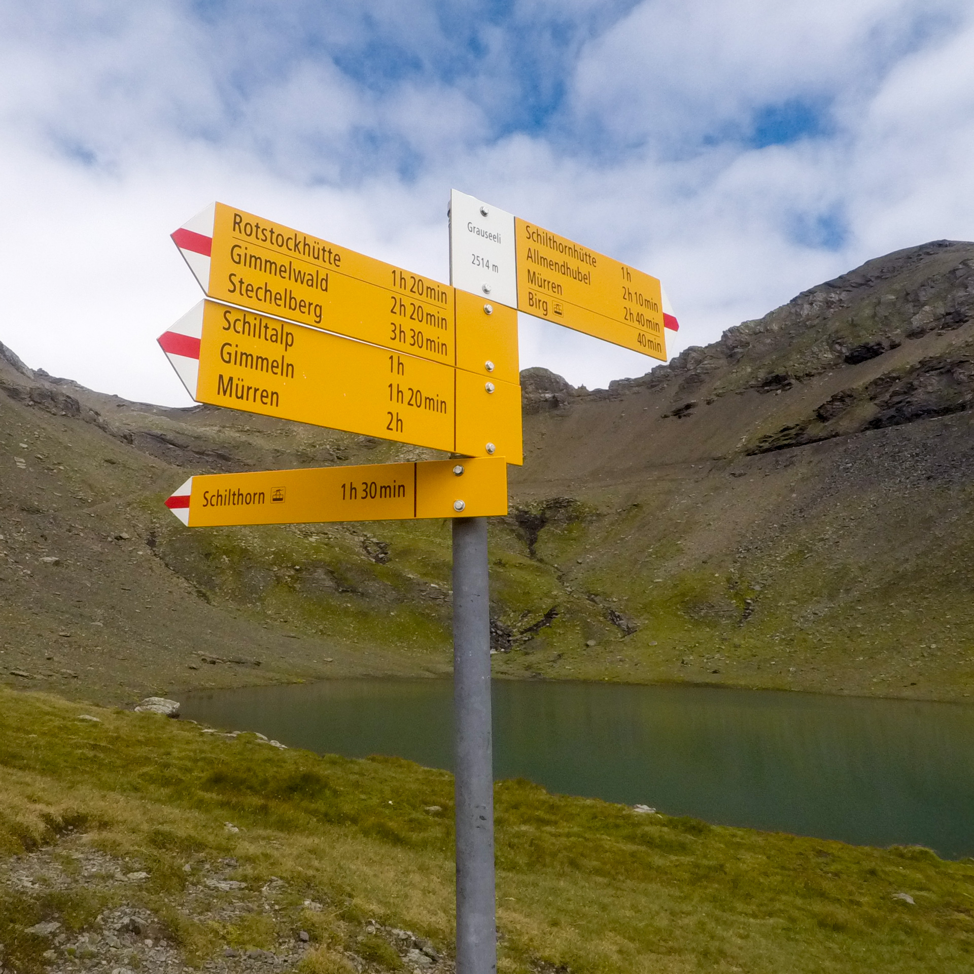
Two days of running in the mountains and I could tell by my legs and feet. Getting up was not really a problem but a certain stiffness was definitely there, my thighs and glutes had been working. And now a third day, not as strenuous as one or two but certainly a tough one, taking into account the previous load plus the height at which we were running. The day’s itinerary brought us from Mürren (1638 m) via Bryndli (2134 m) and Grauseeli (2514 m) to Schilthorn (2970 m) and back through Engelital and around Allmendhubel. Beni decided to add a loop to Grytschalp and back.
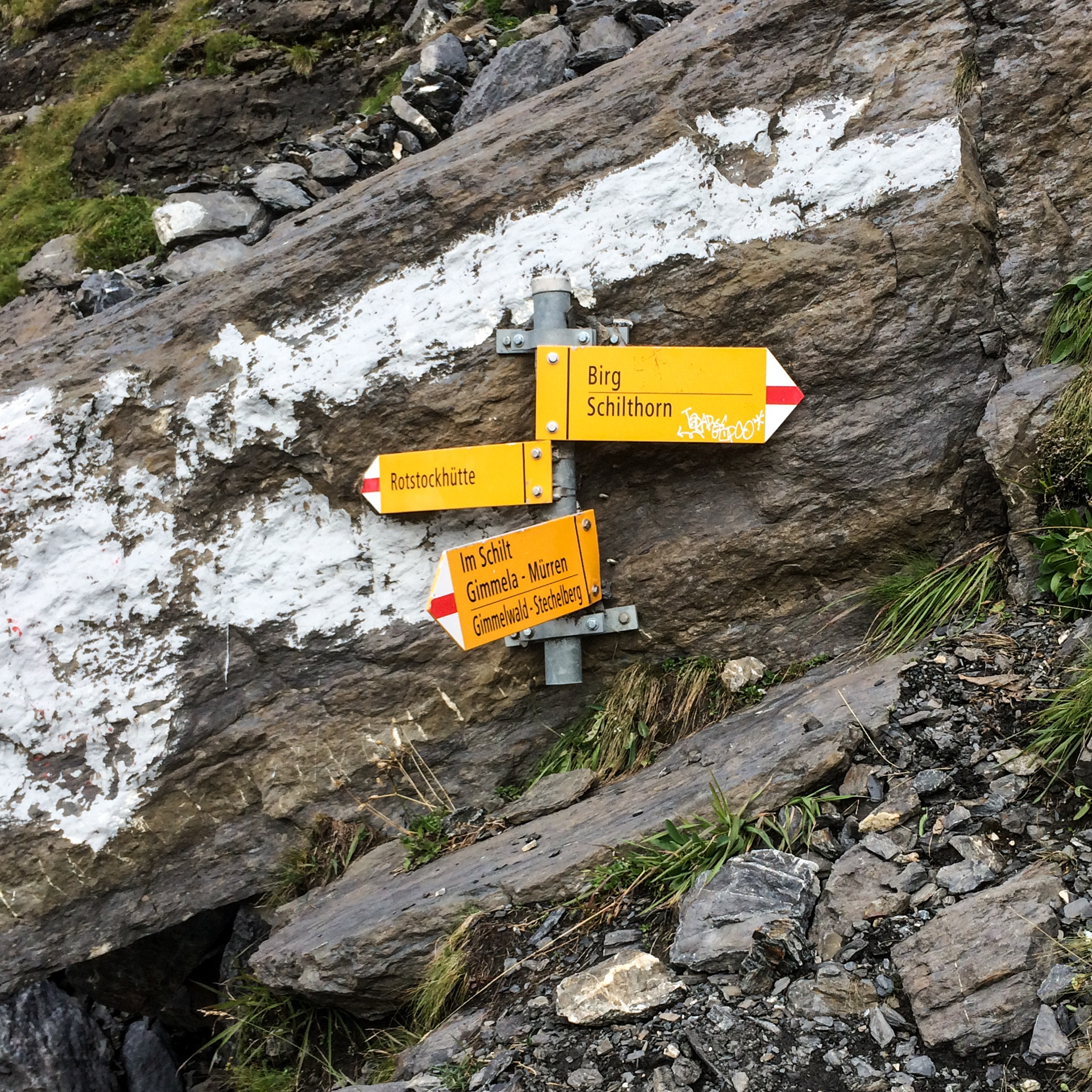
The day turned out to start with a steel blue sky and just a few clouds garnishing the highest tops of the southern part of Lauterbrunnen valley. After breakfast and this time with a light rucksack we started our last leg on 8:39 a.m. – we only packed the first aid kit, rain jacket and pants, a long sleeve mid-layer, a bar, gels and anticipating my knee pains I took along painkillers (one ibuprofen 800mg) . Some twenty minutes into our journey we stopped and admired the view since Schilthorn became visible. You cannot see Schilthorn from Mürren because Birg is obstructing the view. And here is where I took this short clip.
We did not take the shortest way but the scenic route. This involved a steep climb to Gryndli and then moved on on a ridge not dissimilar to Hardergrat, but only shorter. Acrophobia hello! we meet again, but this time I concentrated on the path and did not enjoy the view at least not before having firmly secured my feet. I was getting used to climbing sure enough but I cannot claim to have developed a liking for it. Going constantly upwards is just so tough on your ankles, they are under a lot of stress. After two hours we arrived at Grauseeli a little lake just below the peak and almost after another hour the summit itself. The air was getting thinner and thinner for sure, I could tell. During the ascent there was not much of running involved, I admit. I doubt I could have done it on a first day with fresh legs and pain free either, I simply was not in shape for that level of fitness. Hat off for the super fit runners who do the Inferno half marathon, respect! It took me 2h 52min to get to the top.
We had coffee and sandwich and let our families know we were ok – there is free wifi atop of Schilthorn. I had my pain killer, snapped some photographs and put on the mid-layer shirt. Initially we had planned to return to Mürren through the Soustal, but again we were not adequately equipped, better shoes and poles would have been the minimun upgrade. So we descended back to Grauseeli the same route and from there an alpine highway which I believe is in winter time a downhill track: wide, gently wound and mighty steep at times. This I had been looking forward to. Running down this part was the best – 95 points on the fun factor scale! It was great fun, fast, adrenaline and endorphins alike flowing. I am not sure why the knee pains had gone, but pain killer or adrenaline, I was pain free. The only downside were my shoes – again I have to say.
Here is a compiled clip from the descent.
I returned first to the chalet and took a hot shower and something little to eat. Later we went to a restaurant, had a beer, got back and prepared food.
And so ended day 3 after 18 k, 5 h, 1445 vertical meters and burnt 3679 kcal. Here is the gpx file for day 3.
The day’s takeaway: Left knee pain free, blister not bothering. Ascent was ok, panorama great and running downhill a great, unforgettable experience.
The over all score for day 3:
Fun factor
The next day we got back home pretty much in the reverse order as on our arrival.
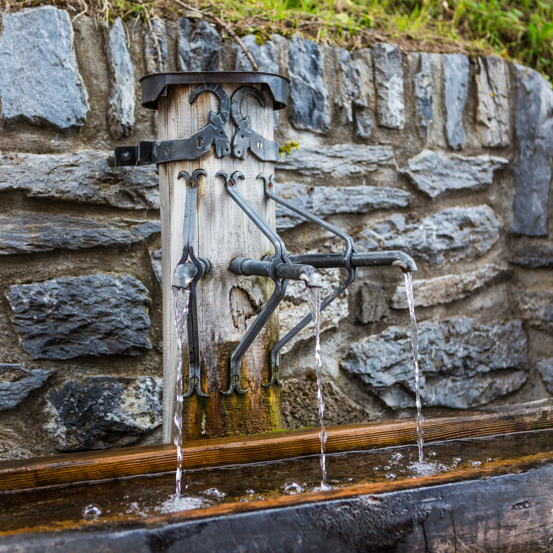
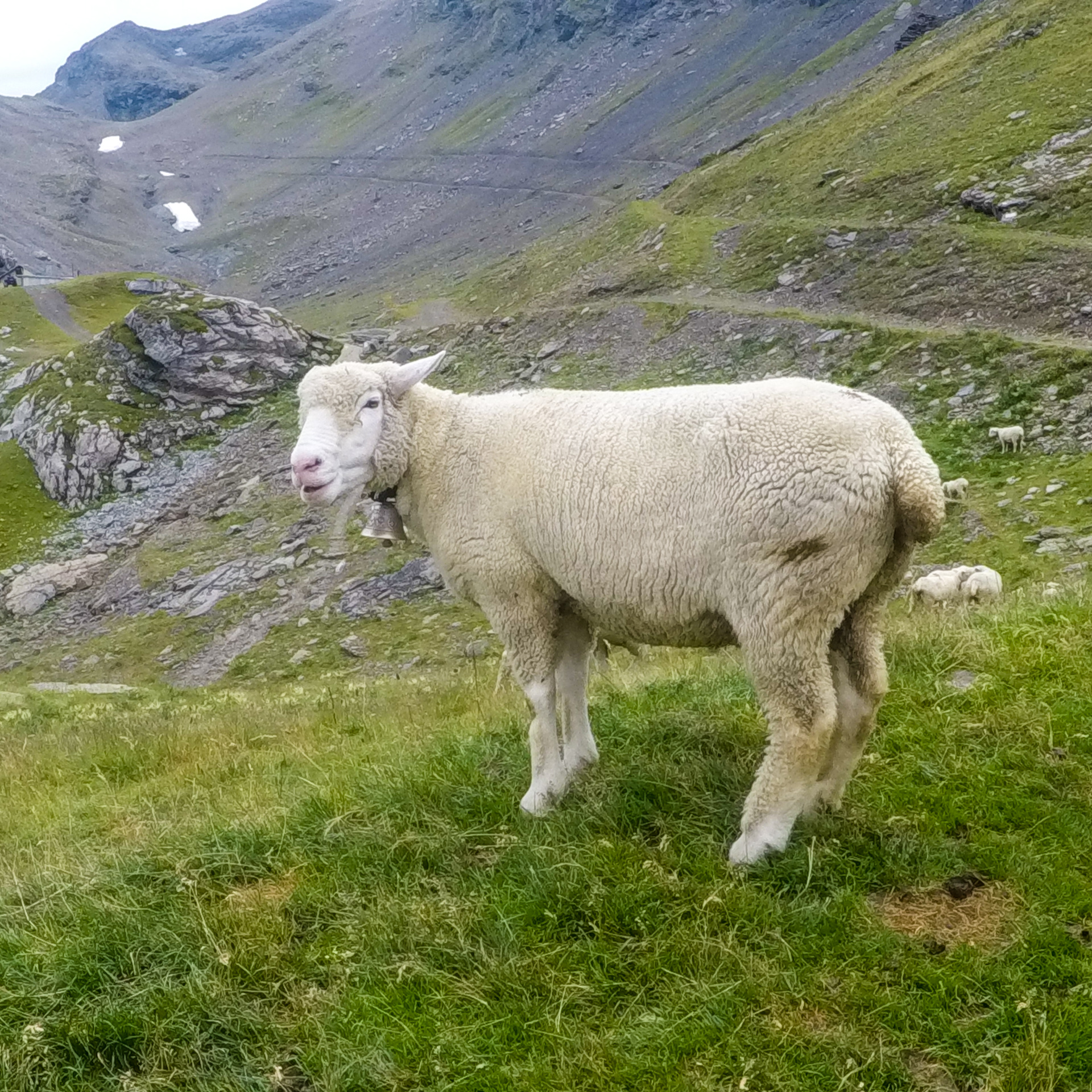
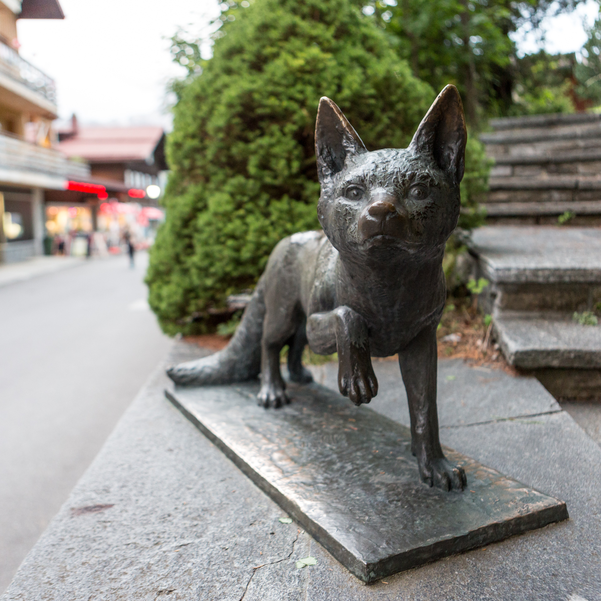
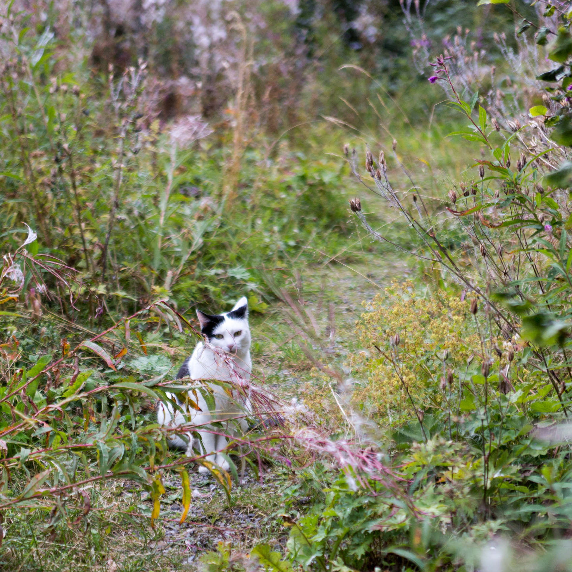
And finally a few selected views from along our trip and Mürren. Thank you for reading patiently and should you embark on a similar adventure I wish you all the best for it! And remember: immer gschmäidig (stay smooth)!
[…] the first pair to the vendor who perplexedly replaced them. I actually had bought the shoe for my trail running trip to the Swiss Alps. And as you can read from the blog post the shoe turned out to be a disaster and not an appropriate […]
[…] Ennen kuin päästän sinut lukemaan ja katsomaan kuvia, manitsen vielä, että maisemat saattavat olla tutut, sinulle, joka olet lukenut blogipostausta viiden vuoden takaisesta Benin kanssa tekemästäni reissusta Alpeille. Kiersimme silloin mm. Brienzerseen etelä- ja pohjoispuolen vuorijonojen selät. Kirjoitin siitäkin melko seikkaperäisesti kuvineen ja videoineen: Trailrunning in the Swiss Alps. […]