Below photographs taken on July 4th in the middle of Helsinki, just south of the City centre. All photos have been taken from the same spot.
Please play around with your browser’s size to get the best view of the photographs.
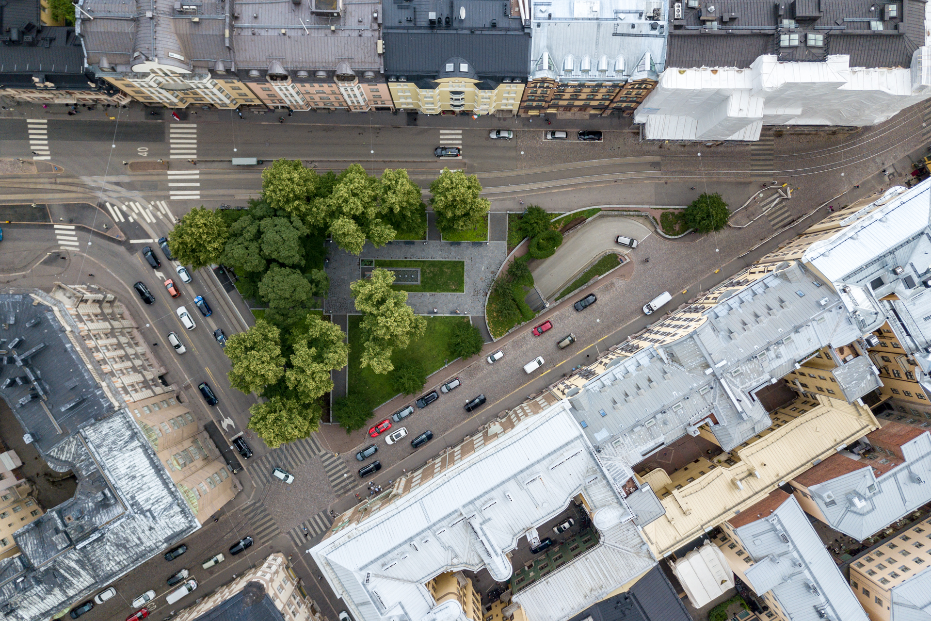
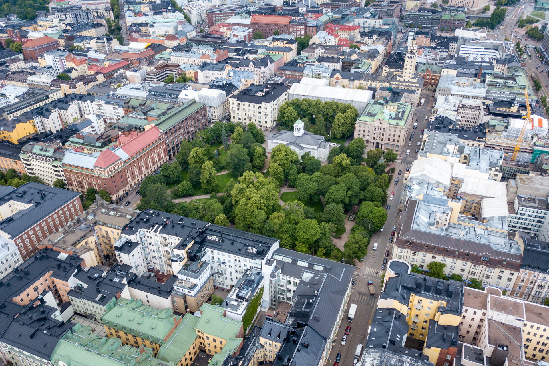
The first photo faces straight downwards onto Dianapuisto or Kolmikula (Trekanten in Swedish) which is at the border of Punavuori and Kaartinkaupunki districts.
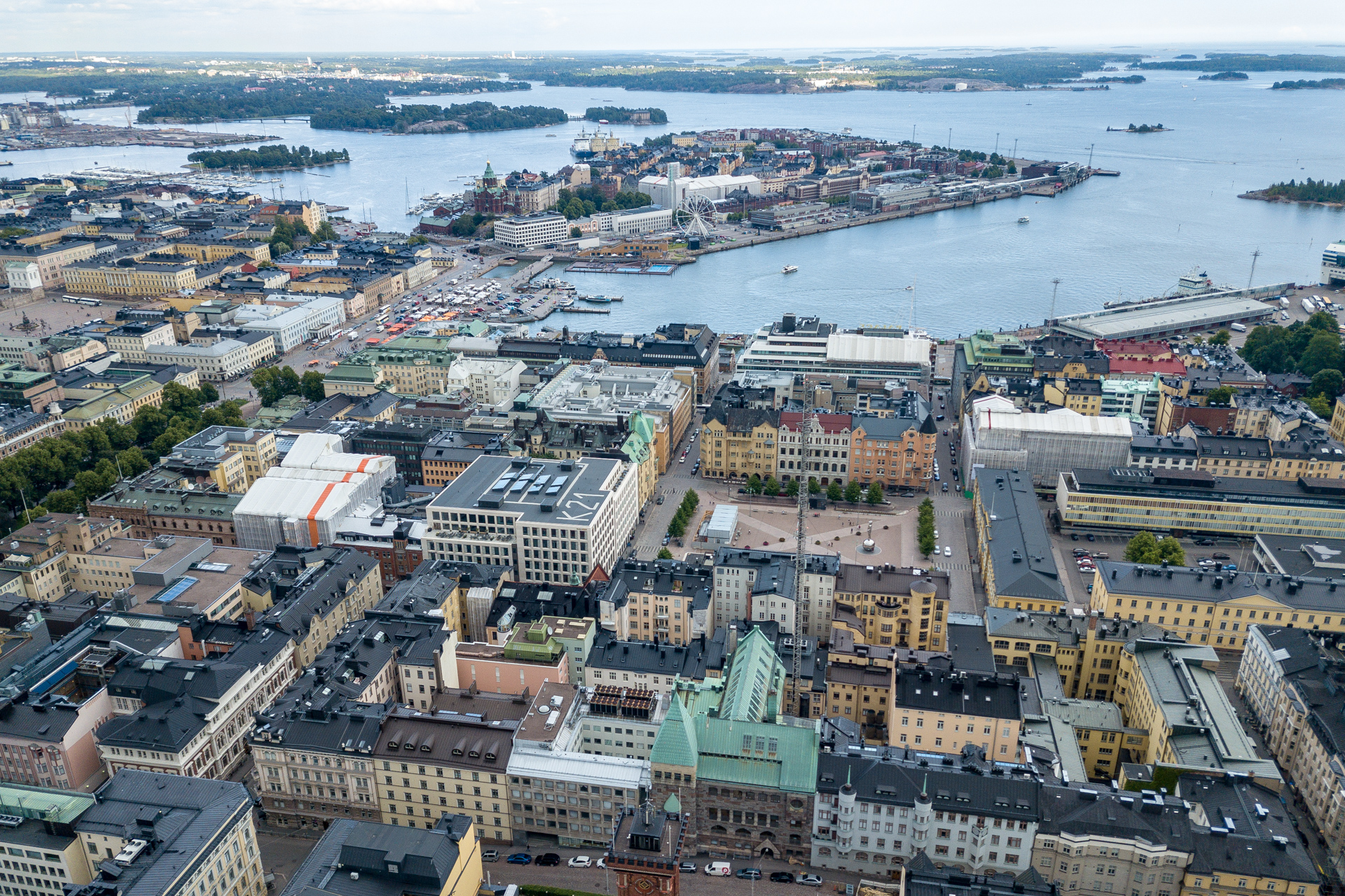
View towards south overlooking more of Kaartinkaupunki and Punavuori and Kaivopuisto.
In the front you have Kaartinkaupunki with Kasarmitori (the square) and in the centre (the triangular shaped body of land) Katajanokka and way in the back you see the former oil harbour of Laajasalo (where the sun hits the ground) now heavily rebuilt into a residential area with a connecting bridge to the city centre.
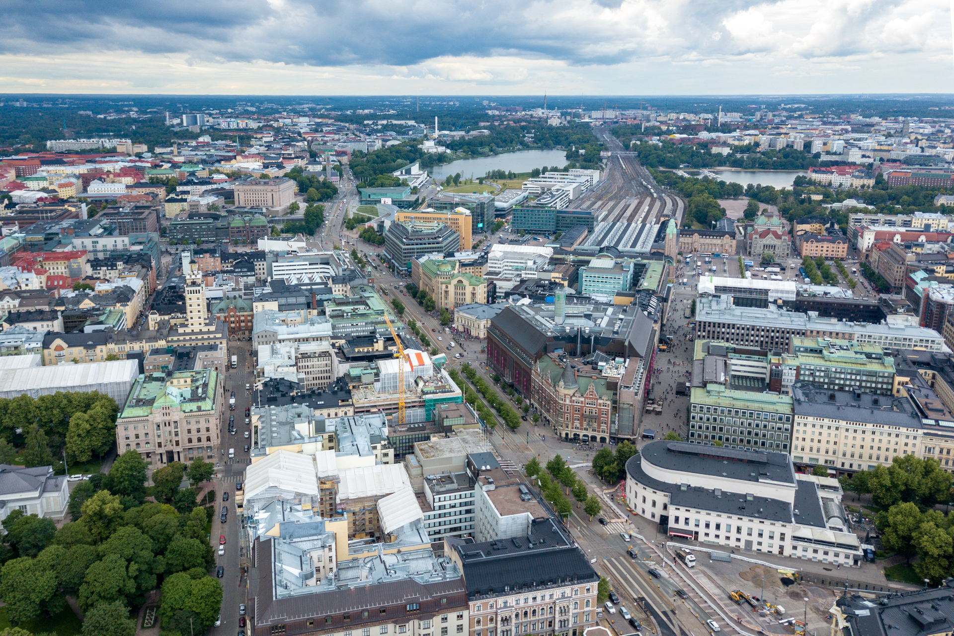
The City centre. Mannerheimintie (broad avenue), the Main railway station and the square next to it and Töölönlahti (the bay).
The Old Church park wit the Old church itself.
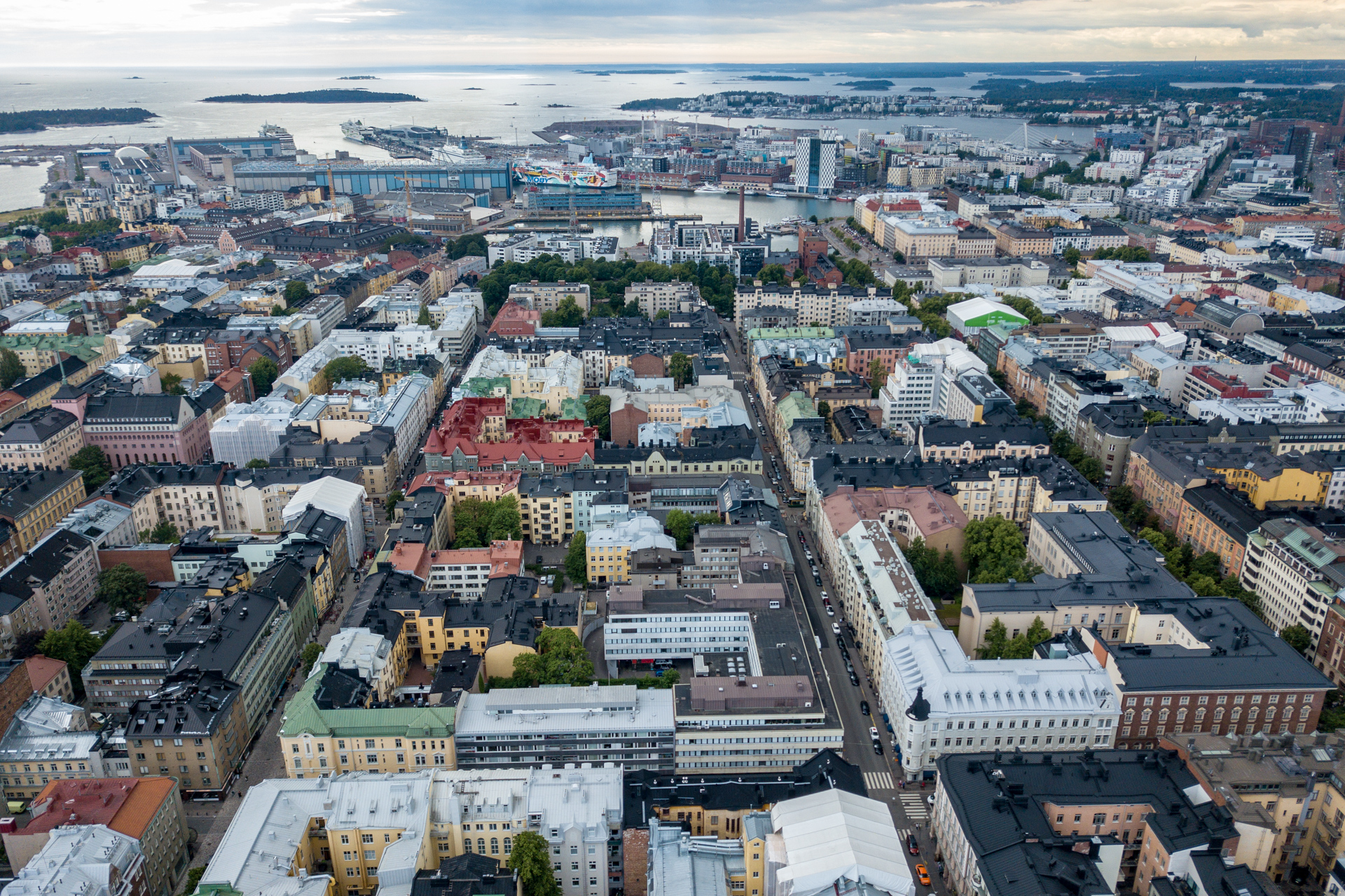
View towards west with the districts from front to back: Punavuori, Jätkäsaari and Lauttasaari.
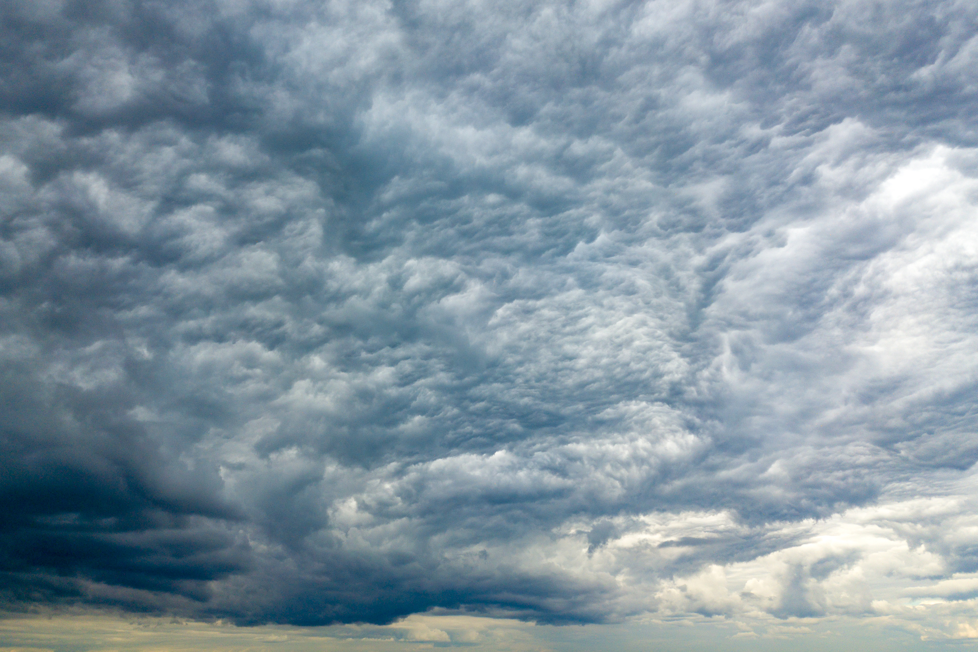
The sky happened to be quite peculiar at that very moment.
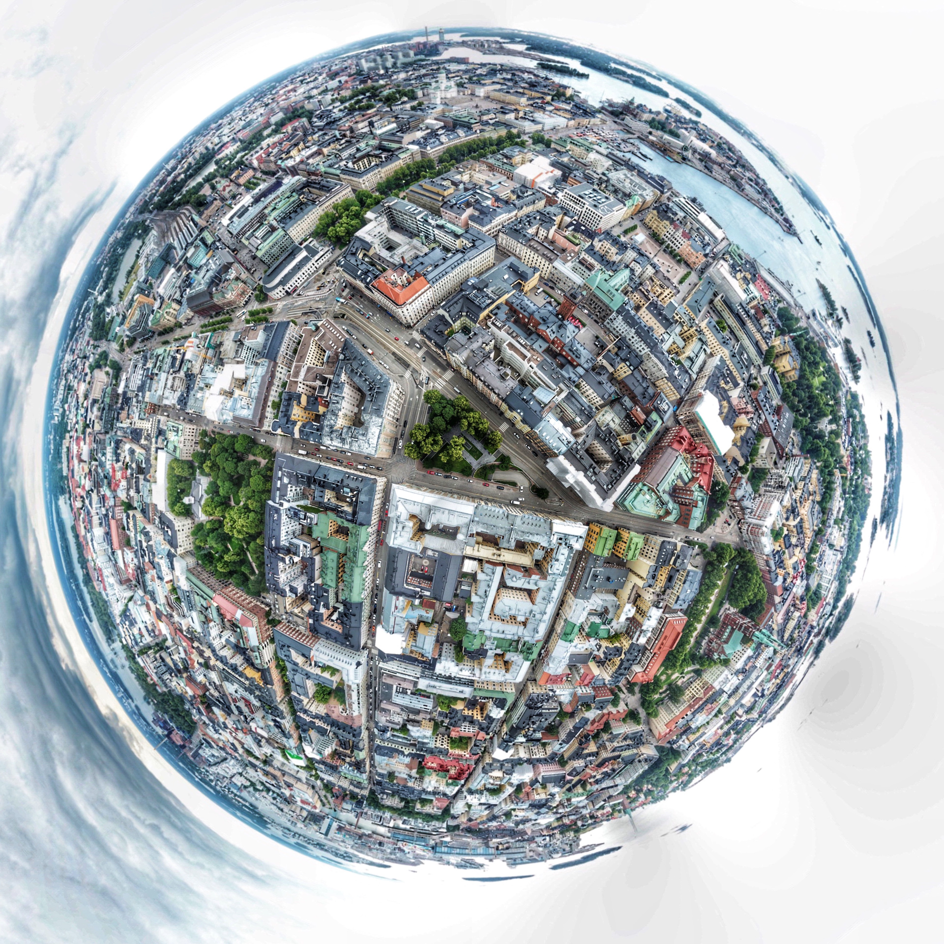
A #smallworld photograph taken from the very same spot.
And finally a video.